Sunday Hiking is back! This is the second week in a row where we’ve gone out to explore TN trails. Since I picked last week’s hike (the North Rim trail at Savage Gulf), it was Chris’s turn today. He selected a 4.5 mile loop, Amber’s Den Ridge Trail, in Virgin Falls State Natural Area, the same park that contains one of my all time favorite trails.
Virgin Falls trail
We got to the park just fine although I’d forgotten that it was so remote. We were on a gravel road for 2 miles before we reached the sign for the Virgin Falls trail. That wasn’t what we were after though so we pressed on. Two additional miles later, we reached the end of the navigable road. Well. Navigable in my car. The sign at the end of the road said you could continue on if you have a four wheeler or ATV ?
We turned around and let me tell you THAT was an adventure! I thought there was a little loop to make said turn around. Unfortunately my poor Civic would have been horribly stuck had I tried it. A Y turn would have met with a similar fate. So I got to (successfully) test out my new back up camera!
We proceeded back to the main entrance and discussed our options. We could just call it quits and go home. Yeah. No.
Without a plan
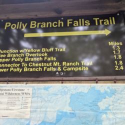
We could do a portion but not all of the Virgin Falls trail. Its a strenuous 9 mile hike that we did not come prepared for. This would let us hike but would have just been a major tease as we’d have to do a fair amount of work without the amazing payout at the end of the trail. We settled on the final option which was to park in the only other parking area we’d observed and see what trails were to be had there. We never go hiking without a plan so this winging it thing was completely new and kind of exciting. The winging it thing lasted for just a few minutes because just off the parking area was a sign containing a trail map and distance markers. We weren’t certain how strenuous these trails would be or how well maintained so we chose an out and back to Bee Branch Overlook.

Look at the watch tower! I so looked forward to climbing to the top of the tower and taking all sorts of pictures!
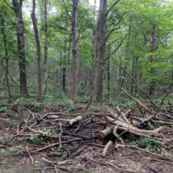
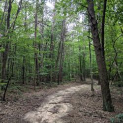
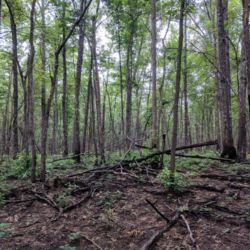
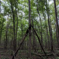
The trail was very wide. We theorized that the trail creators had just driven a bobcat out to clear the underbrush. We also noticed that there was a lot of evidence of fire but only on the south side of the path. Possibly a controlled burn?
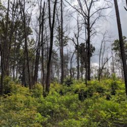
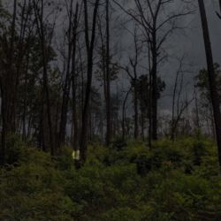
Do you see the trail marker? It’s right there. I promise! Hint: it’s more or less straight ahead and it’s on the leftmost tree of the 2 that are together. Click the picture on the right for help.
Find the marker
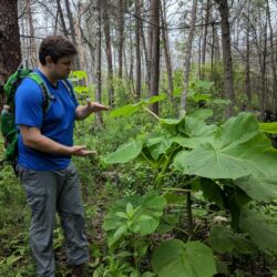
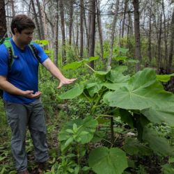
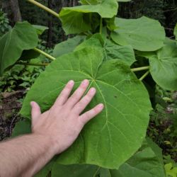
Just over a mile and a quarter into our hike that marvelous super wide path disappeared and I got to play the game “Find the Marker”. This trail was marked with green paint on the trees but there was so much undergrowth and really tall plants that they became challenging to find. In order to keep from getting lost, I told Chris my plan was to stop at the current market until I spotted the next. That worked once or twice but most of them were too well hidden so you had to venture into the unknown for a little bit before you could spot the next marker. Ah well. We made it!

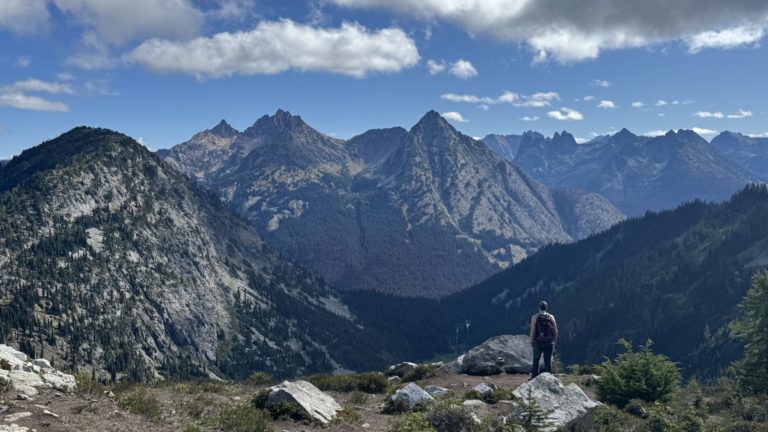
Behold! The overlook!

No watchtower but there was a sign to signal we’d reached our final destination ?



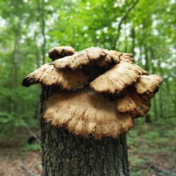


What a fun adventure! Love the mushrooms and leaves. I’m surprised you didn’t bring some bread so you could Hansel and Gretel it. 🤣🤣🤣