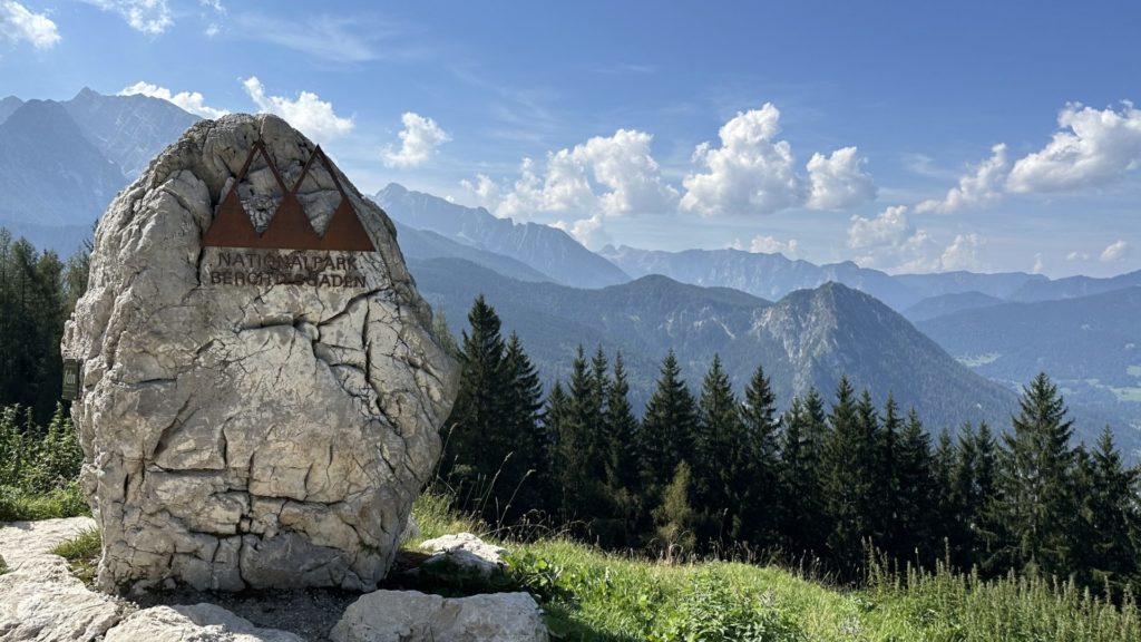
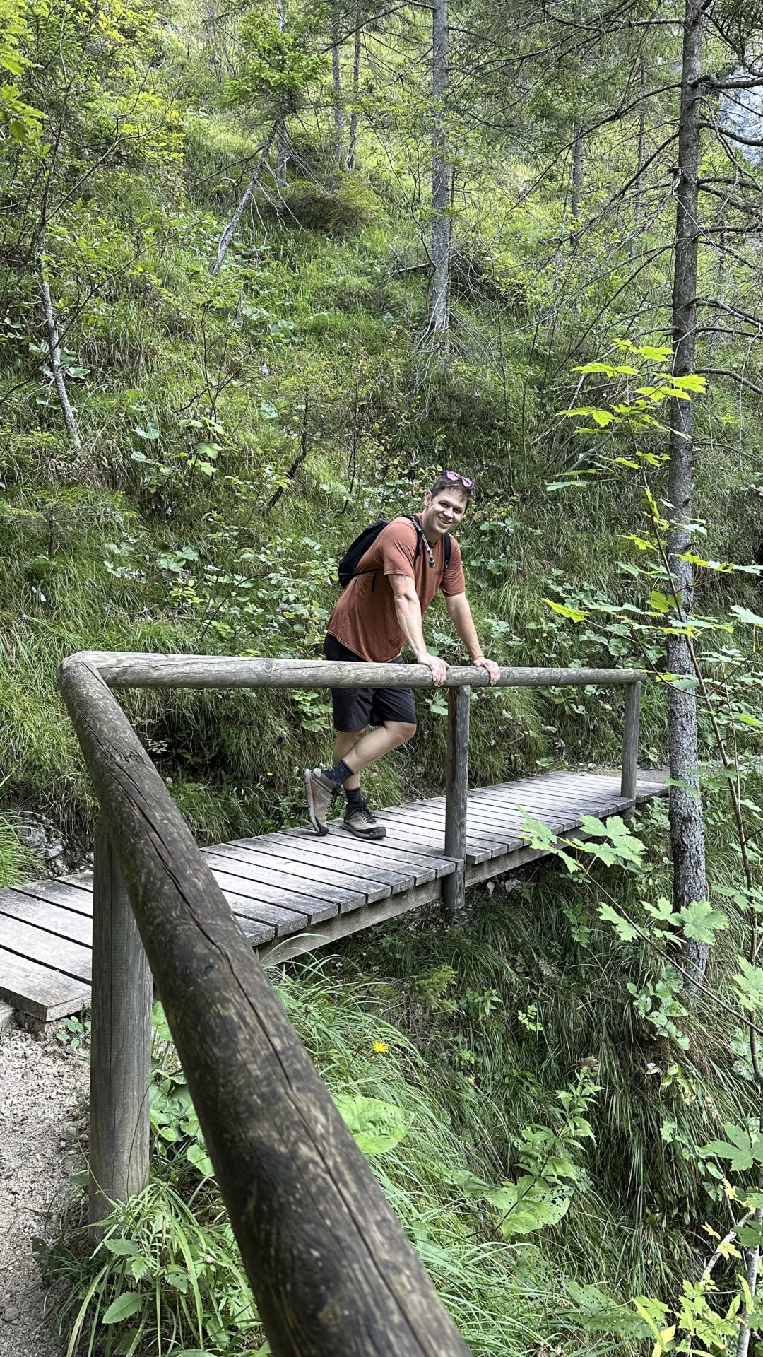
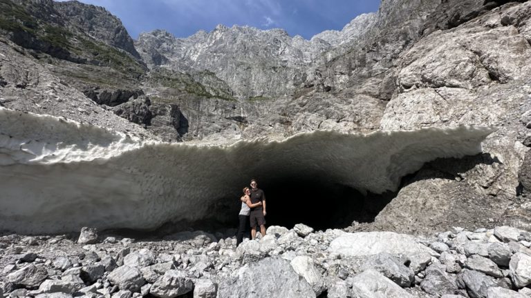
Not only are the hills alive with the sound of cowbells, they are alive with the sound of me huffing and puffing my way up a mountain. Chris planned our adventures for the day. I requested we go hiking in the nearby Berchtesgaden National Park and agreed with the plan he proposed. In retrospect, perhaps I should have asked more questions but I knew from planning this trip that it was hard to get detailed hike information in this area which is why there wasn’t a plan in the first place. C’et la vie. I lived!
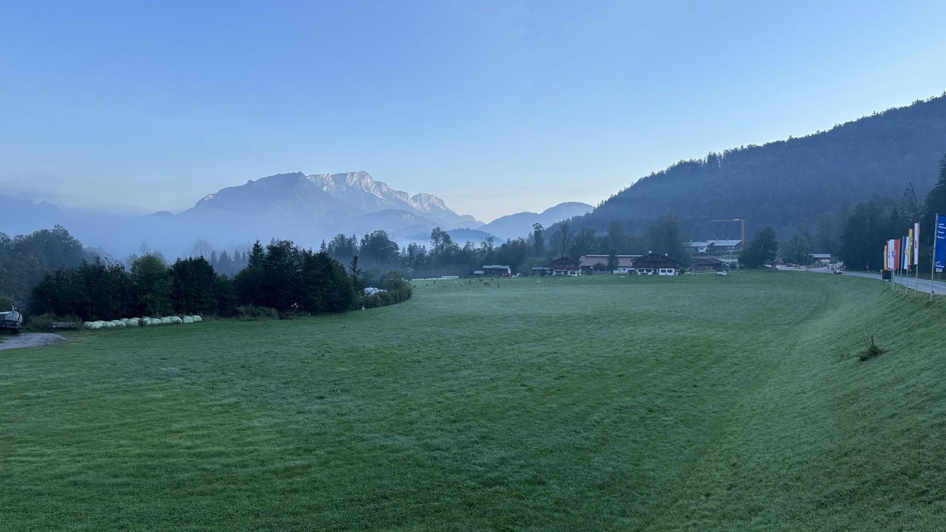
Our hotel is within walking distance to the park. It’s 20-30 minutes away and so the plan was to walk to the park then get on the trails heading towards Schneibsteinhaus. Chris told me the hike there would take around 3 and a half hours but he’d also identified a few potential side quests so that wasn’t set in stone.
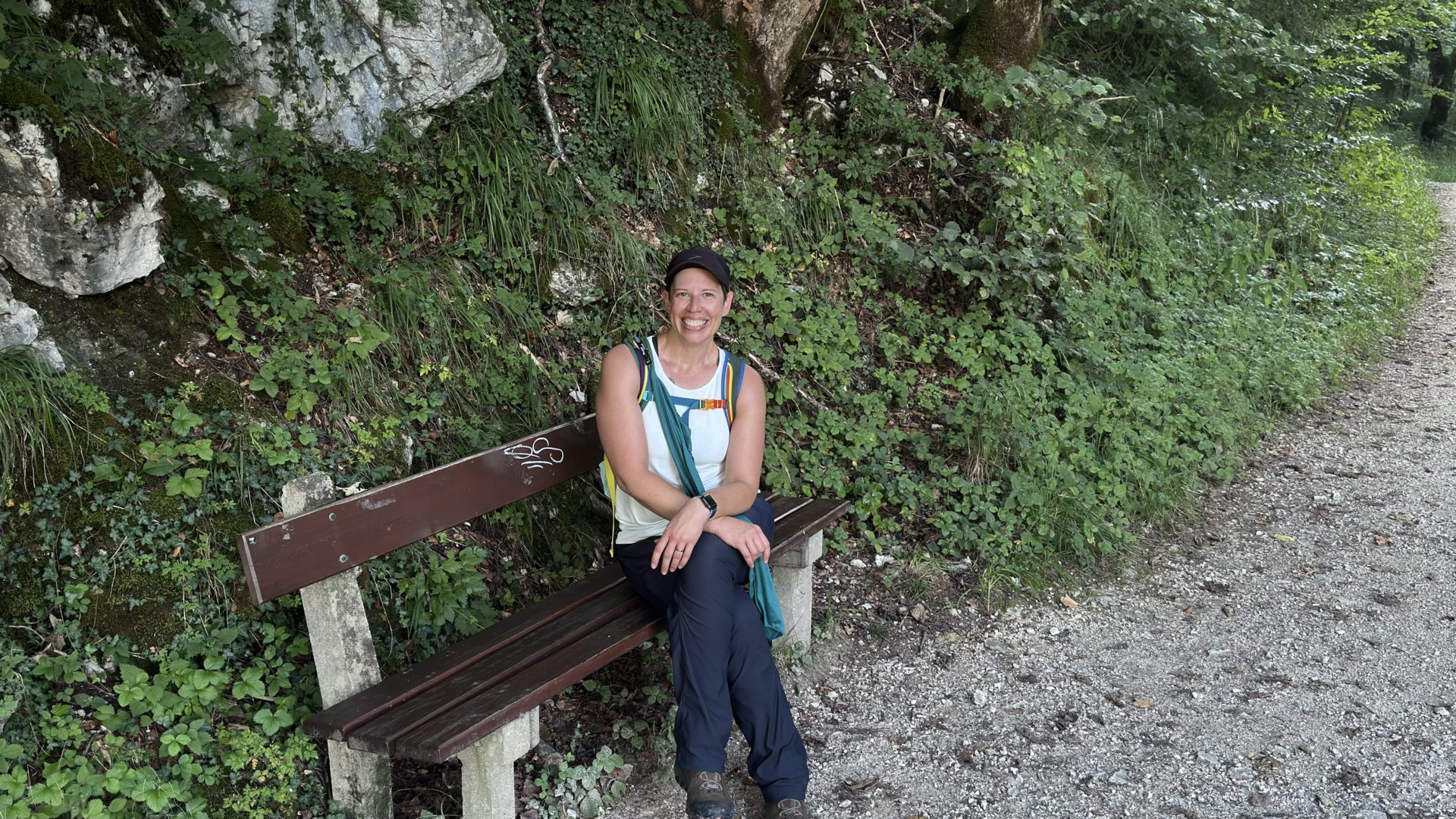
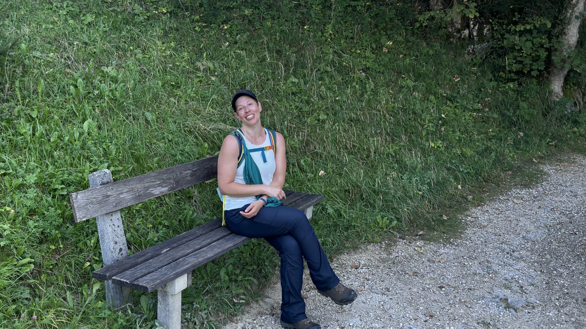
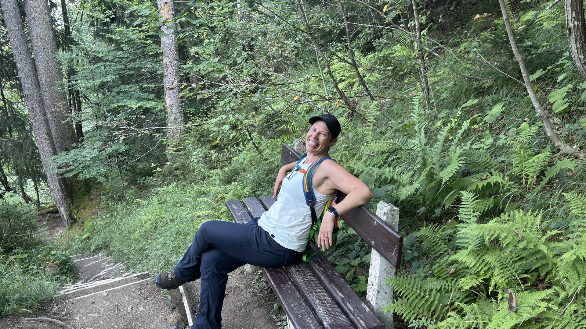
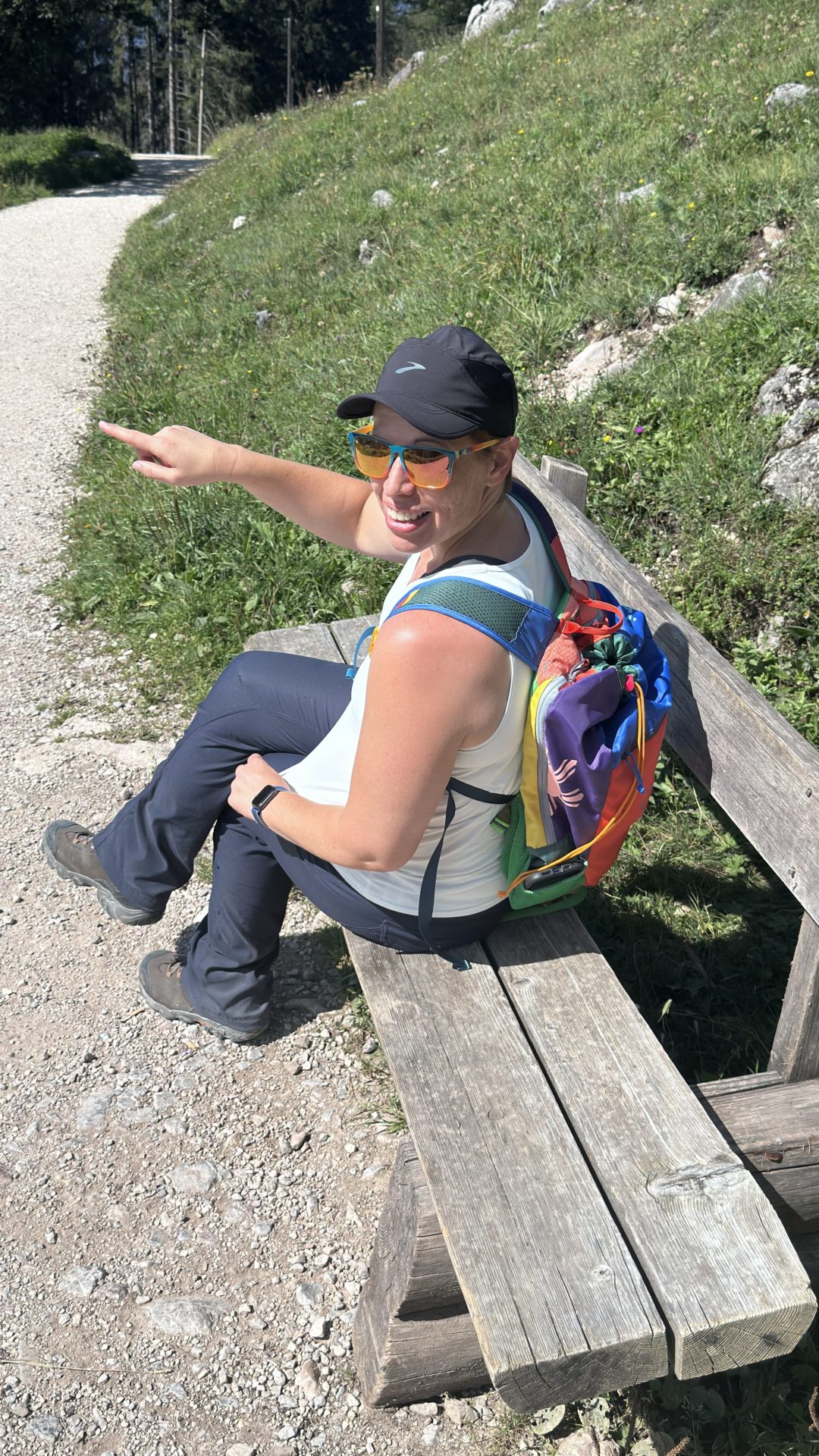
The Benches
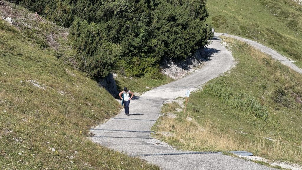
The Up started pretty much immediately. Chris had absolutely zero problems with it but I was on the struggle bus from the get-go. It became my personal mission to test out every single bench and bench-like object along the way. Spoilers: they are all 10/10 because they supported my out-of-shape self as I caught my breath.
Freaking Chris never once seemed out of breath. Dude just kept on trucking. At one point he texted me to see if I’d died and he needed to come get me. Okay. Fine. That’s an exaggeration. The actual text said “Are you ok. Do I need to come back down?” But still.
I’m now wondering what he would have done had I answered “Yes, come back!” Do you think he’d have carried me? I saw one guy carrying both his and his (presumed) girlfriend’s backpack up the mountain. Not just like a school bag backpack. He was legit carrying 2 backpacking packs. They are obviously both Expert Level in Hiker and Passenger Princess respectively, but I digress.
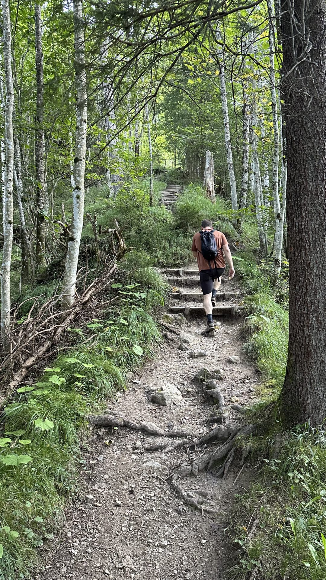
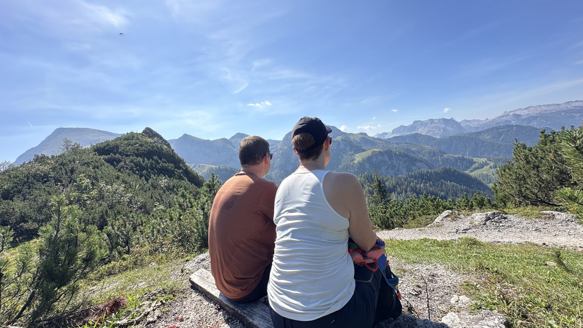
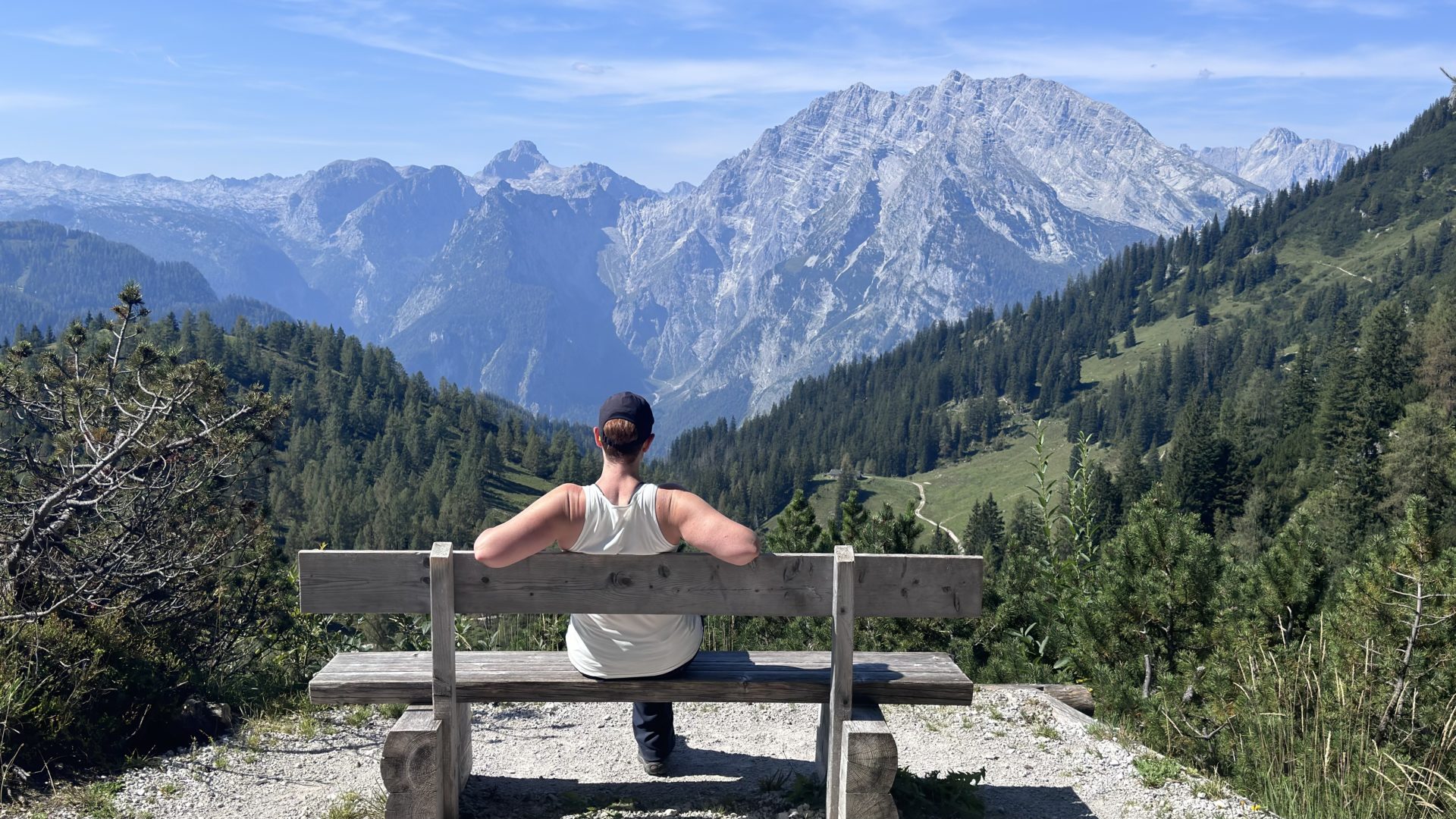
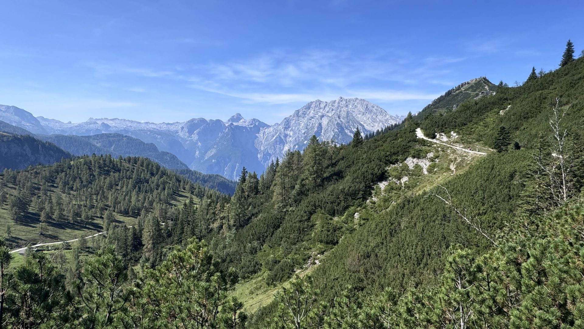
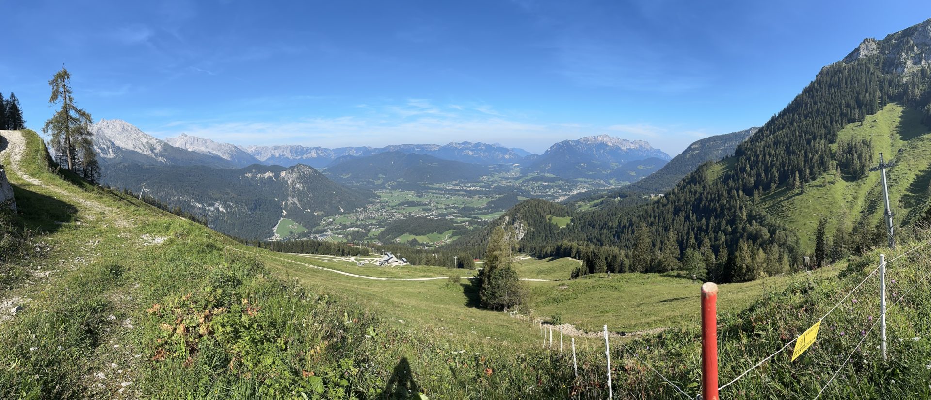
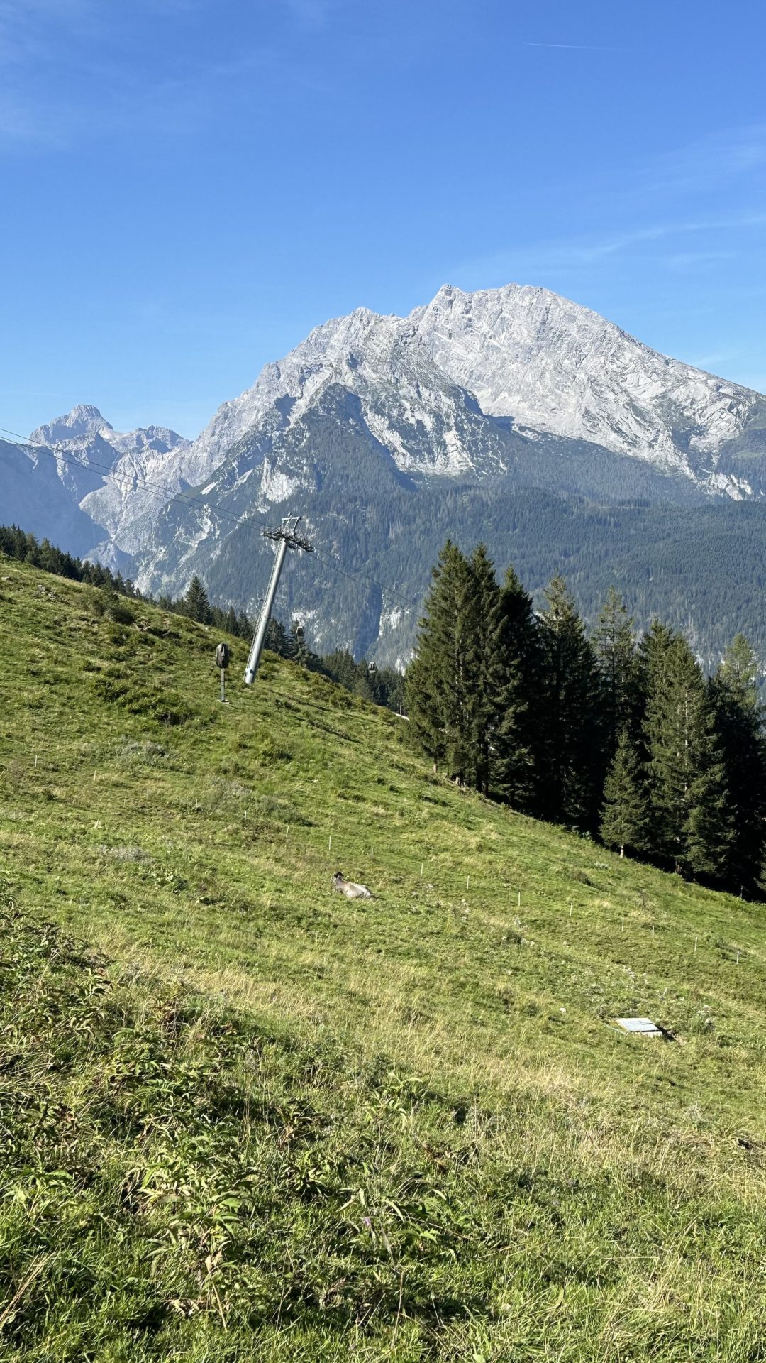
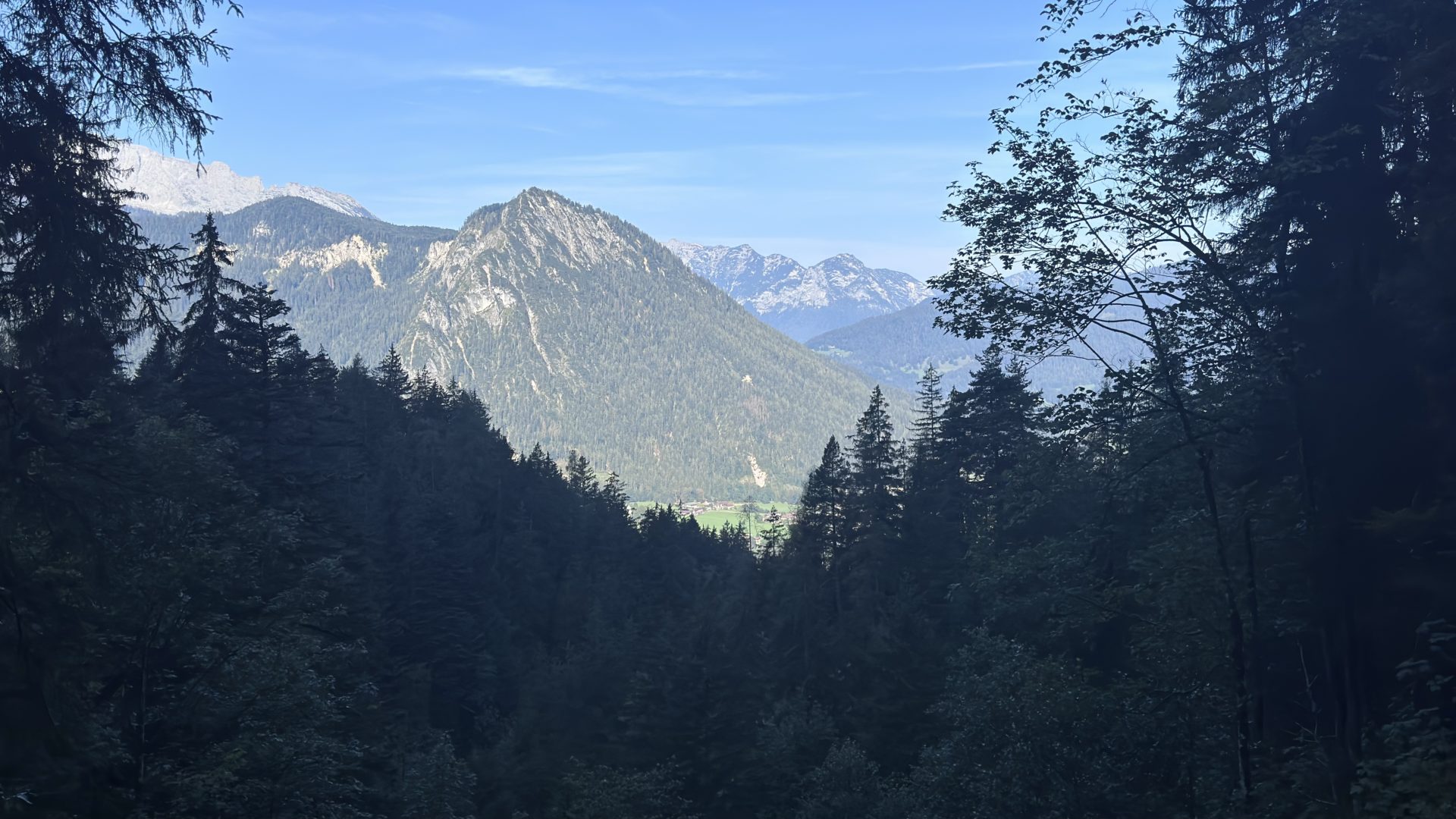
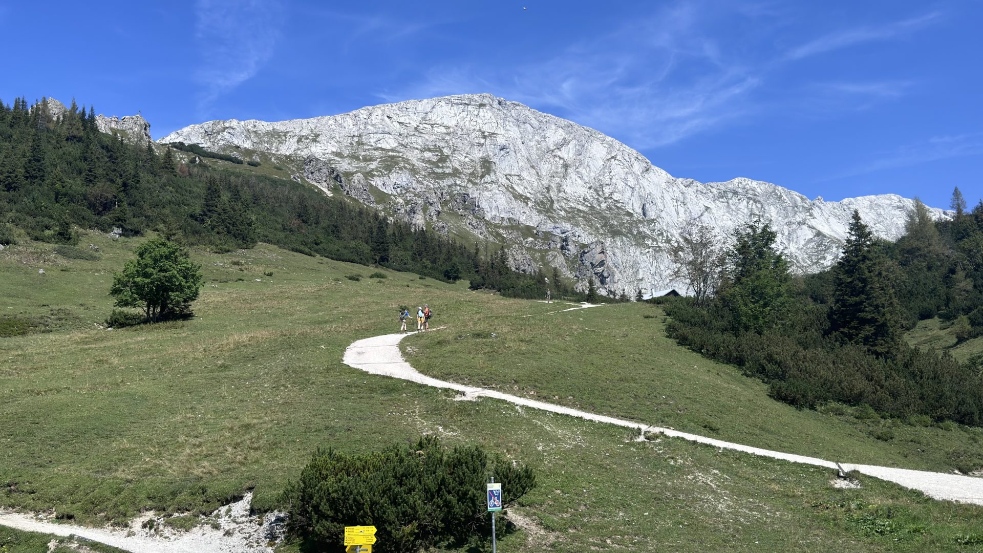
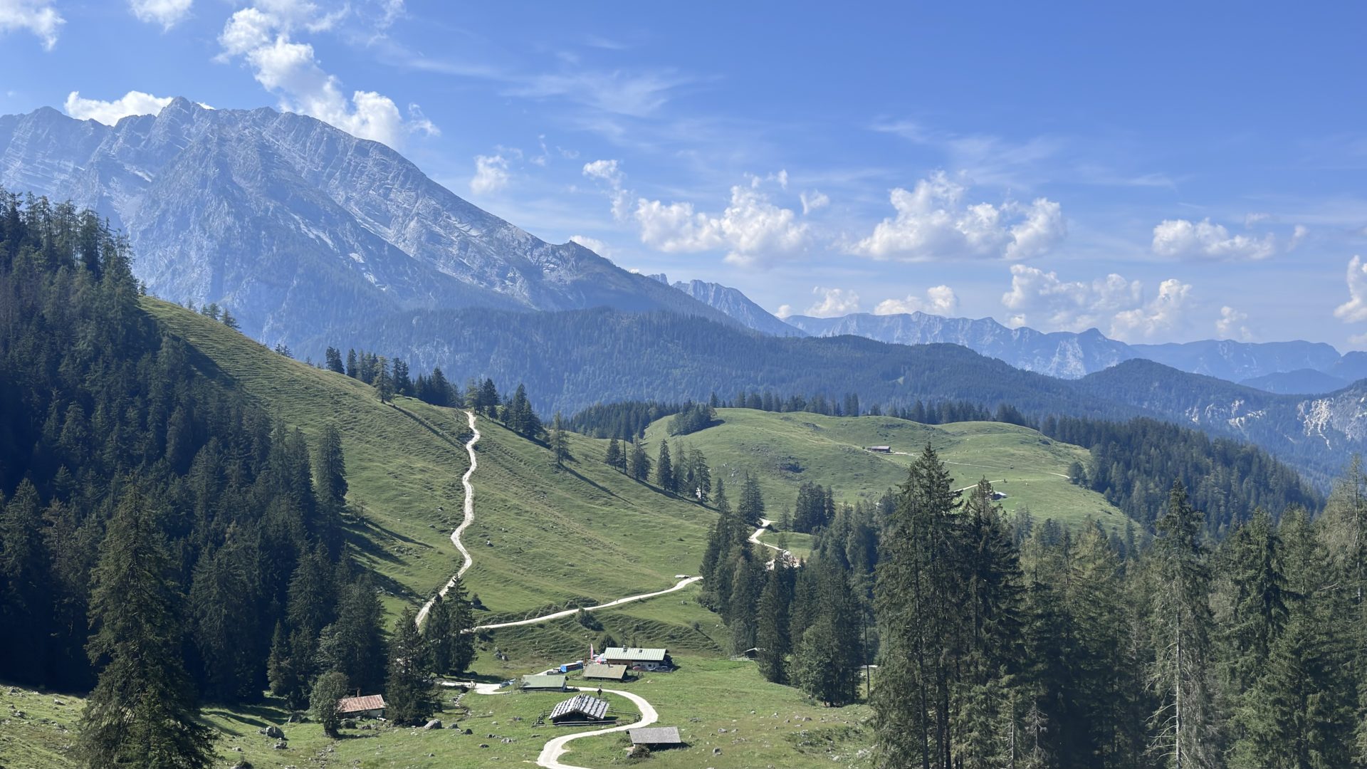
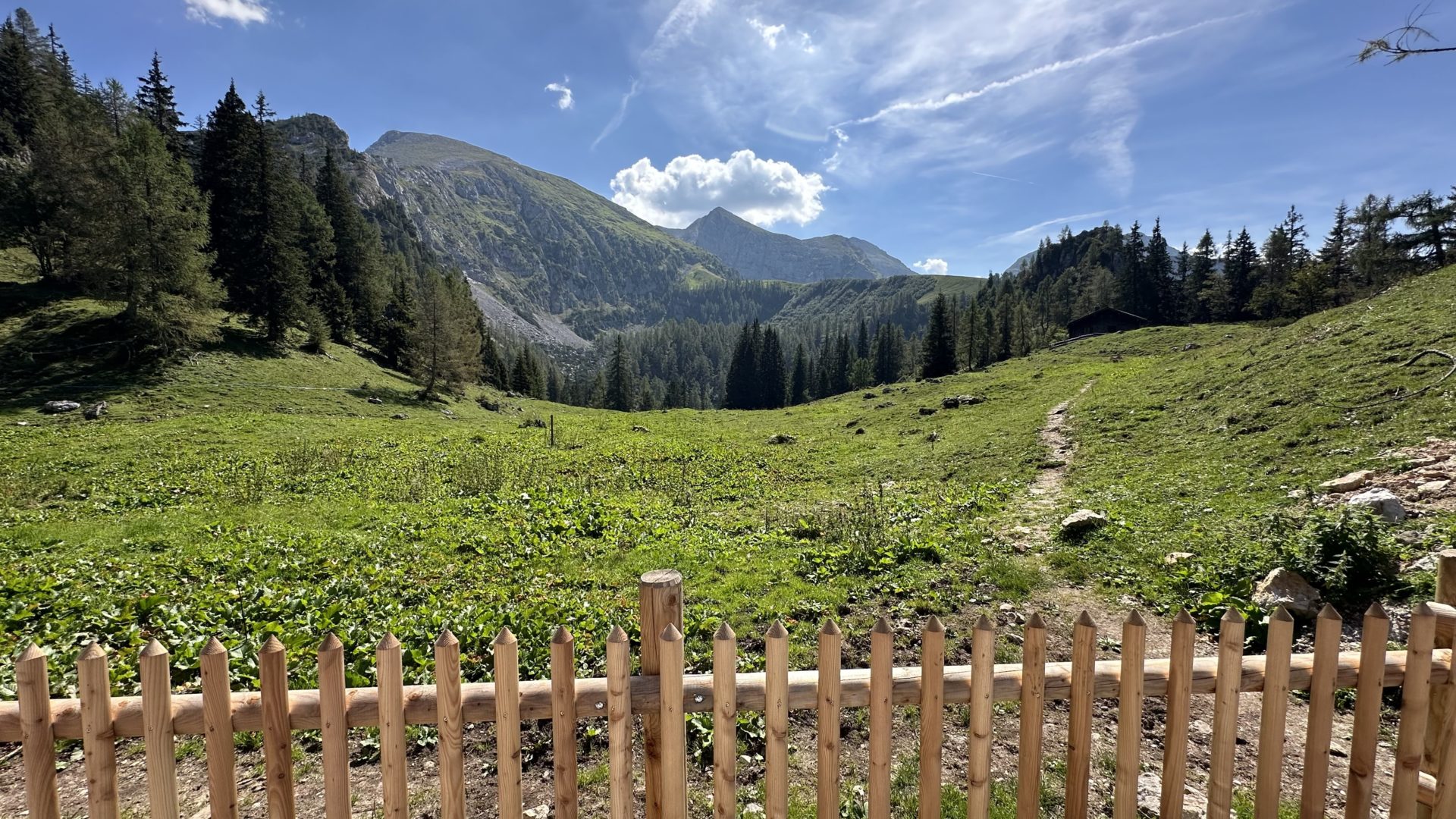
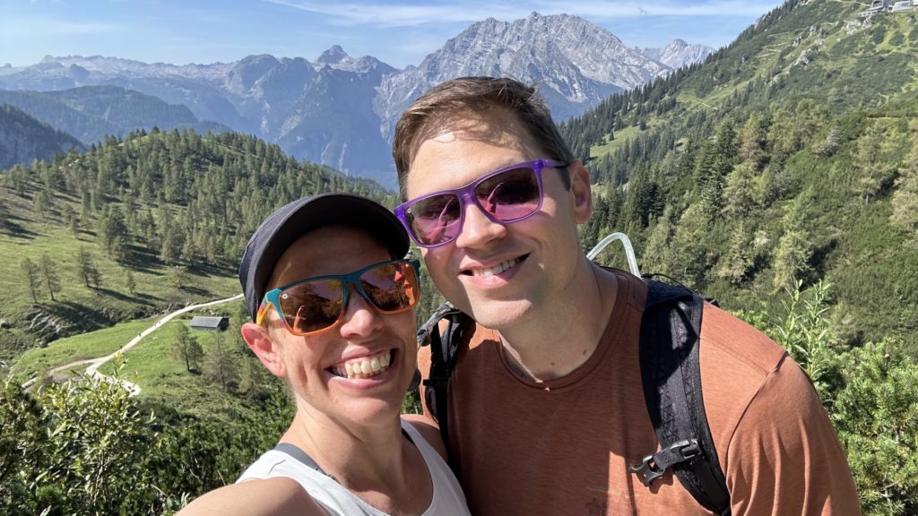
The Views
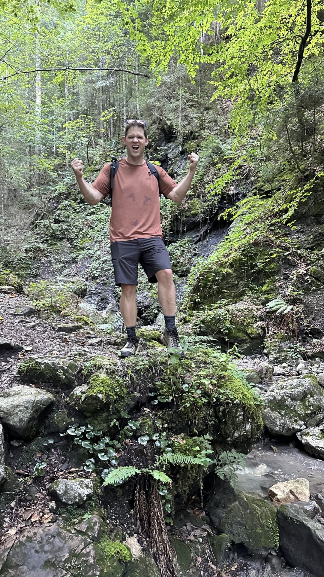
It was a gorgeous hike. I have absolutely no regrets about doing it. This park is spectacular and I can’t recommend it enough.
Schneibsteinhaus
Americans really need to embrace the idea of mountain huts. It is absolutely amazing that we can hike up the side of a mountain here and come across not 1 or 2 but a nearly uncountable number of huts where you can get food and drinks! Also, you can stay the night and have warm showers!
This park has an unfathomable number of hiking trails. You can legit hike from hut to hut with just a day pack and explore all the things. It’s brilliant. No need for a heavy backpack with a tent and food. Nope! Just back clothes, water, and a sleeping bag and boom! You’re set!
Anyway. We had cold beer and I had Mozart ice cream with a view and it was fabulous.
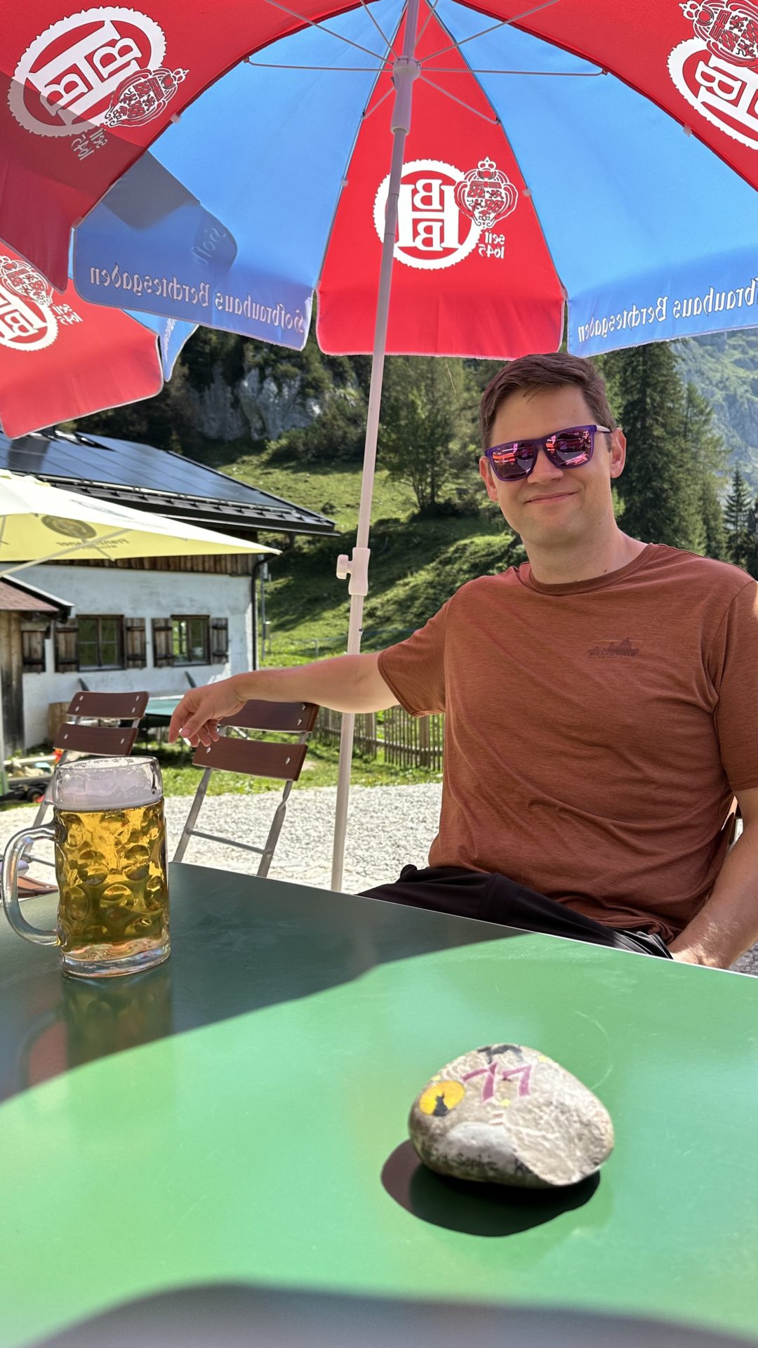
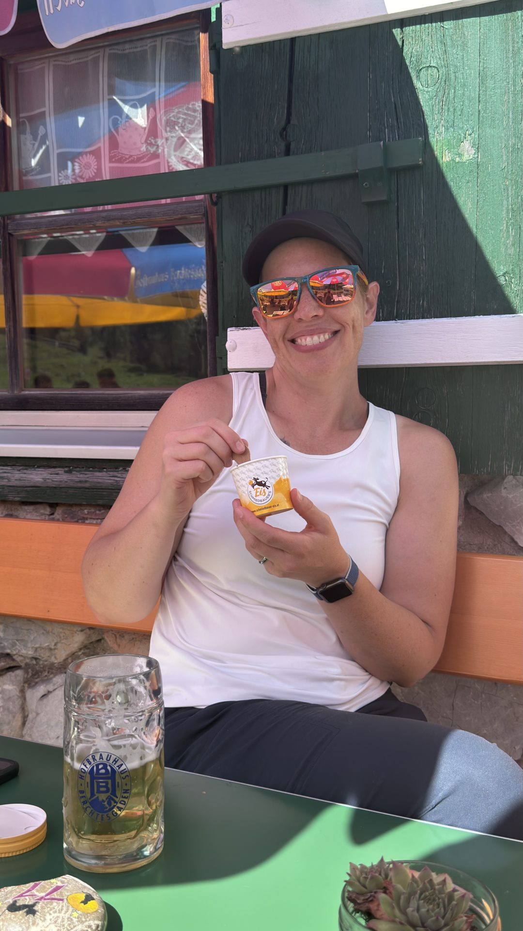

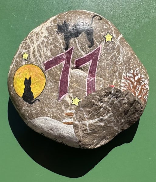
They have some really neat table numbers – hand-painted rocks. Of course, we chose a table with cats.
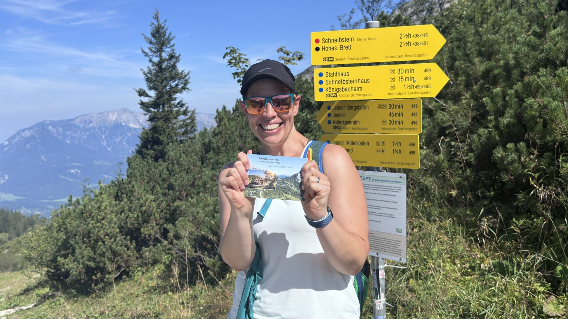
In case you may be as out of shape as I am but still want to visit, there’s a cable car / gondola thing. It’ll take you nearly to the top of Jenner and from there it’s allegedly a 30-minute walk to Schneibsteinhaus (per this site). I consider this to be a lie (see next section about the signs) but it comes with stunning views!
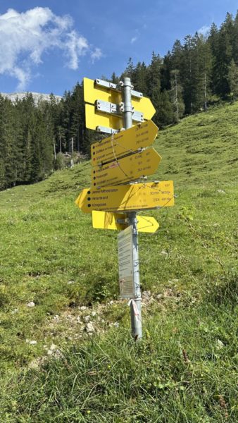
The Signs
Sign. Sign. Everywhere a sign. Do this. Don’t do that. Can’t you read the sign?
I think I can read the sign. But I think it lies. It’s either that or I’m just bad at hiking. Okay. Fine. It’s probably the second option but this is my blog so the sign lies. Final answer.
This region has fantastic signage. We’ve commented on it before and will probably do so again in the future. It is next level. You’re never left wondering where you are. Every trail intersection has a plethora of signs to tell you the direction to the nearby destination(s), the difficulty of the trail to get there, and the time it will take to get there.
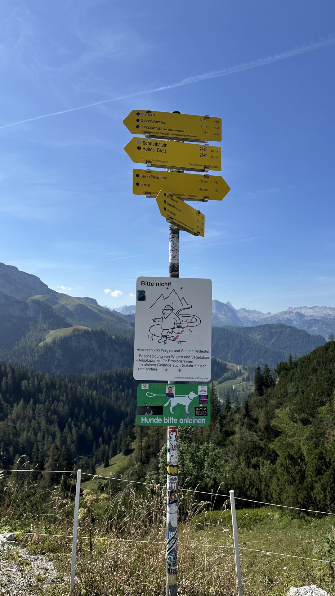
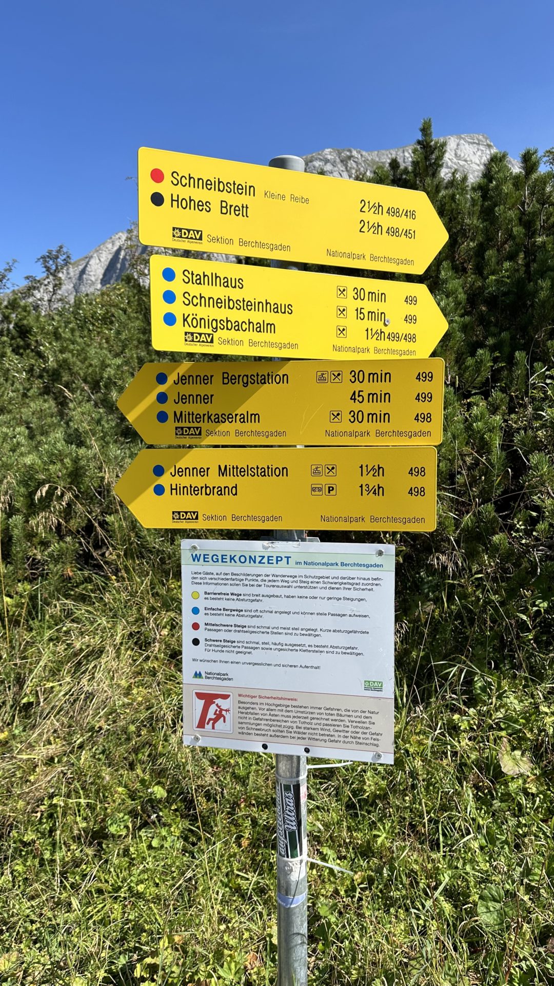
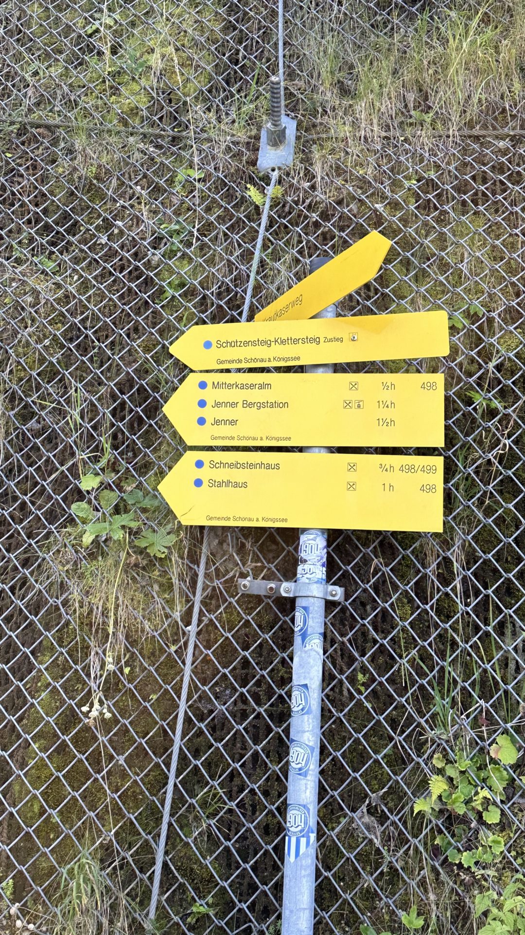
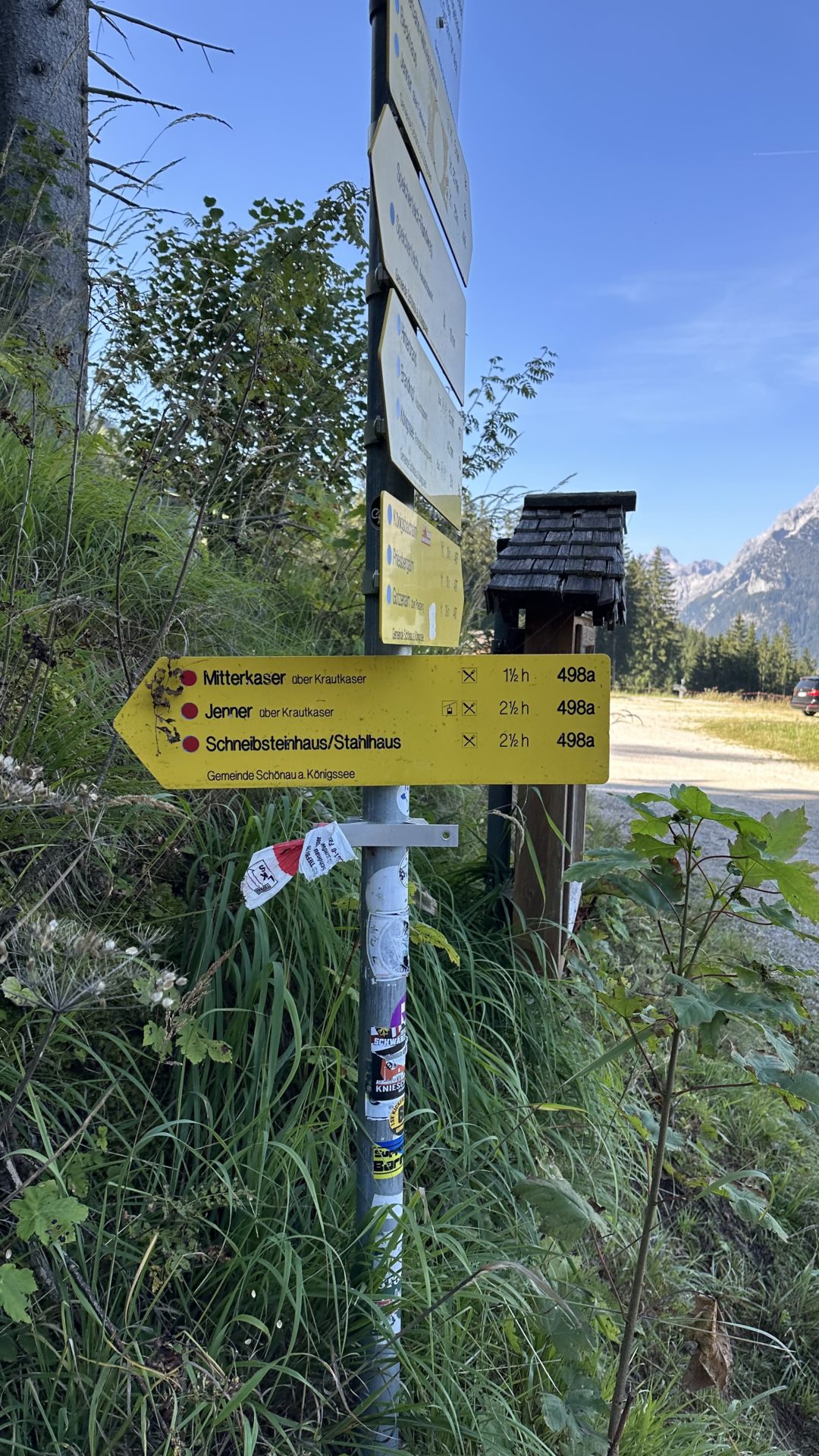
The color coding system is pretty cool and corresponds to the level of difficulty:
- – Yellow: barrier-free – wide with no or only slight inclines; no risk of falling
- – Blue: simple mountain paths that are often narrow and can have steep passages; no risk of falling
- – Red: moderately difficult paths that are narrow and mostly steep; short passages with a risk of falling
- – Black: difficult climbs that are narrow, steep, often exposed; risk of falling. Passages secured by wire ropes and unsecured climbing areas must be overcome. Not suitable for dogs.
The time portion is what I take issue with. 30 minutes to Jenner Mittelstation. Okay, cool. 30 minutes later? There’s a new sign saying it’s 15 minutes away. It’s a good thing I’ve a strong will or this may have broken me.
The Final Numbers
We don’t know for sure how far we hiked but using our fancy phones we think we did a little over 7 miles up to Schneibsteinhaus and then another 5 to get to the middle cable car section (we cheated and took the cable car instead of walking all the way back) and back to our hotel. Not exactly sure about the total elevation change but according to one of the maps the base of the cable car is at 630m and Schneibsteinhaus is at 1670m. Ergo we climbed at least 3,400′ in elevation. Our hotel is a bit lower in the valley so there’s a bit more we could take credit for but it’s too much work to math out.

This is one of my favorite posts!! The scenery is incredible and I absolutely love the photo of you two from the back. It definitely makes me want to go hiking in Germany!!