They say to get a truck. Or a Jeep. Maybe a Subaru.
The plan for today’s hike was to get up early, drive to Timbuktu (okay fine it was really somewhat near Arlington, WA), and hike the 8.6 mile Boulder River trail. We didn’t get up as quite early as intended as snooze buttons are evil little geniuses. Nor did we get out of the house smoothly as I decided at last minute that I should go dig our day packs out of the storage unit. Chris wisely used this time to purchase turnips in Animal Crossing and then made sandwiches for the trail.
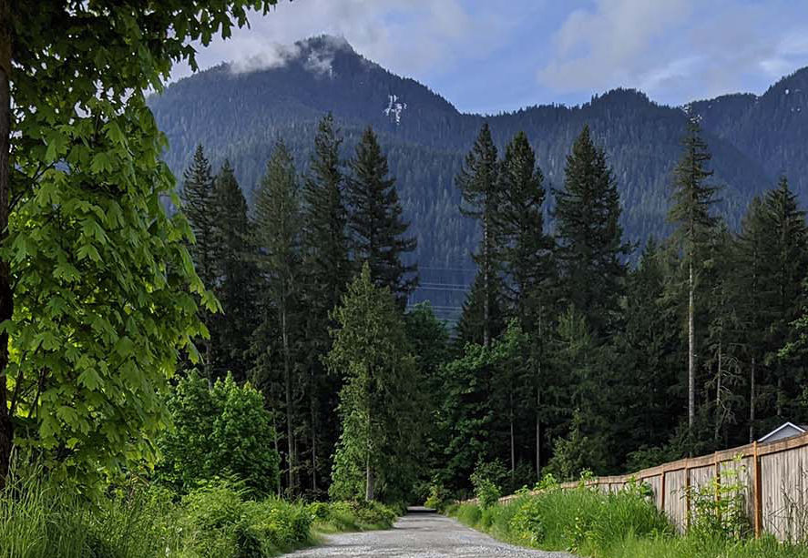
Then we’re in the car and Northbound enjoying the empty roads and beautiful sunshine. An hour and a half later we make our right turn onto French Creek Road. According to Google Maps, we’ll arrive at our destination, the trailhead, in 3.6 miles. 3.6 miles of potholed gravel road. Now these aren’t minor little potholes like you see in my picture. Some of these gems are reminiscent of a child’s inflatable pool and if it weren’t for Chris’ creative use of the entire width of the road, we probably would have gotten hung up on one of them.
A half a mile or so down the road there we stumbled across a place to turn around and Chris gratefully took advantage of it so as to minimize damage to his Blue Lion. I worked on trying to salvage the drive and found another trailhead 3 or 4 miles away. Off we went to Neiderprum Trailhead.
We arrive at the parking area, or at least what we assume is the parking area, for Neiderprum Trailhead and quickly identify the location of the trail. We park, get our boots on, and set out for adventure!


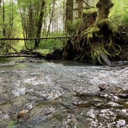
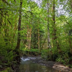
Only to be stymied by a river a few hundred yards away from the parking area. A duo who had set out down the path just ahead of us was also flummoxed by the river and asked us if we knew the secret to getting across. We didn’t but our boots are waterproof and the water wasn’t that deep so we forged our way across and continued down the trail.

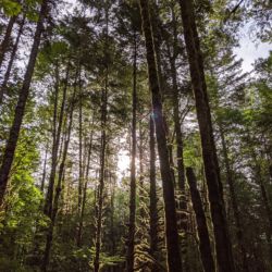
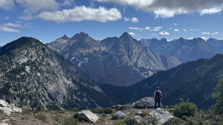
Only the trail disappeared shortly thereafter. I said the heck with it and took a bunch of photos and videos while Chris explored.
I checked the handy dandy website and learned that the Washington Trails Association website doesn’t describe the trailhead entrance quite like what we saw. In fact it says at “the dead end with a steel gate on the right and barricade of large boulders on the left with a wooden bridge directly behind them.” We saw none of these things.

Exploring the area near the car showed what appeared to be private driveways. Perhaps the trail was down one of them but we’ll never know. We packed up and headed home to try again tomorrow.
But not without a quick detour to snap a picture of the original road. While I was taking this picture, Chris was executing a double Y turn. Just after he finished, a large pickup truck turned down the road. The driver kindly slowed down when he got to the Tesla, laughed at it, and then barreled off down the pothole-filled gravel road without a care in the world.


Ha! Teslas are good for a lot of things, but probably not pothole covered roads. I bet your Rav4 is much better!