Choices were made, and I’m not sure I actually have any regrets about them.
Chris hasn’t been feeling well, so we paused the making of plans last night and decided to play it by ear this morning. He woke up feeling better but not great, so we scrapped the original hiking plan. Instead, I talked him into Plan B, which was an hourish long walk across town to a Buddhist temple that has a waterfall. On the way, we’d check out Hiroshima Castle. Easy Peasy.
Choices from the Hotel
A few choices occurred before we left the hotel. The first is that I put on a real bra and not a sports bra. Remember that hiking was canceled? Yeah. No hiking = no reason to wear a sports bra. Oops.
The second was that I didn’t add either of the power banks to my bag. I asked Chris if he thought we should bring one. He said no, and I went with it, knowing that my phone is old and the battery in it exceptionally so.
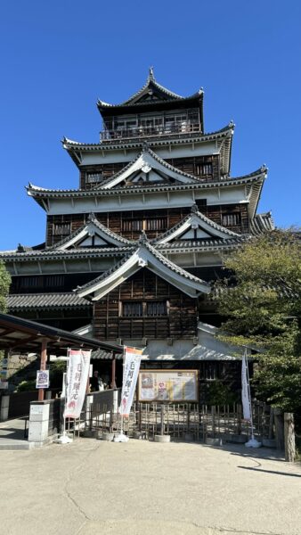
Hiroshima Castle Choices
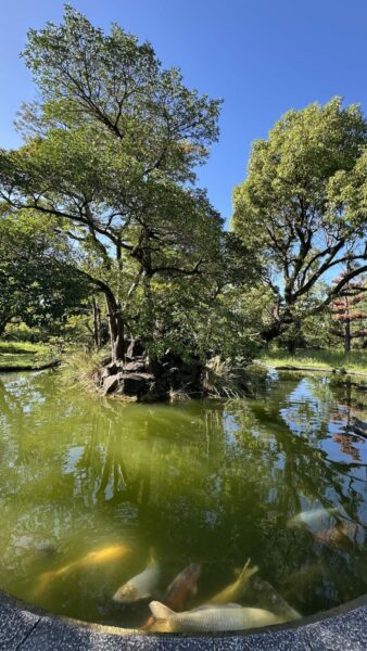
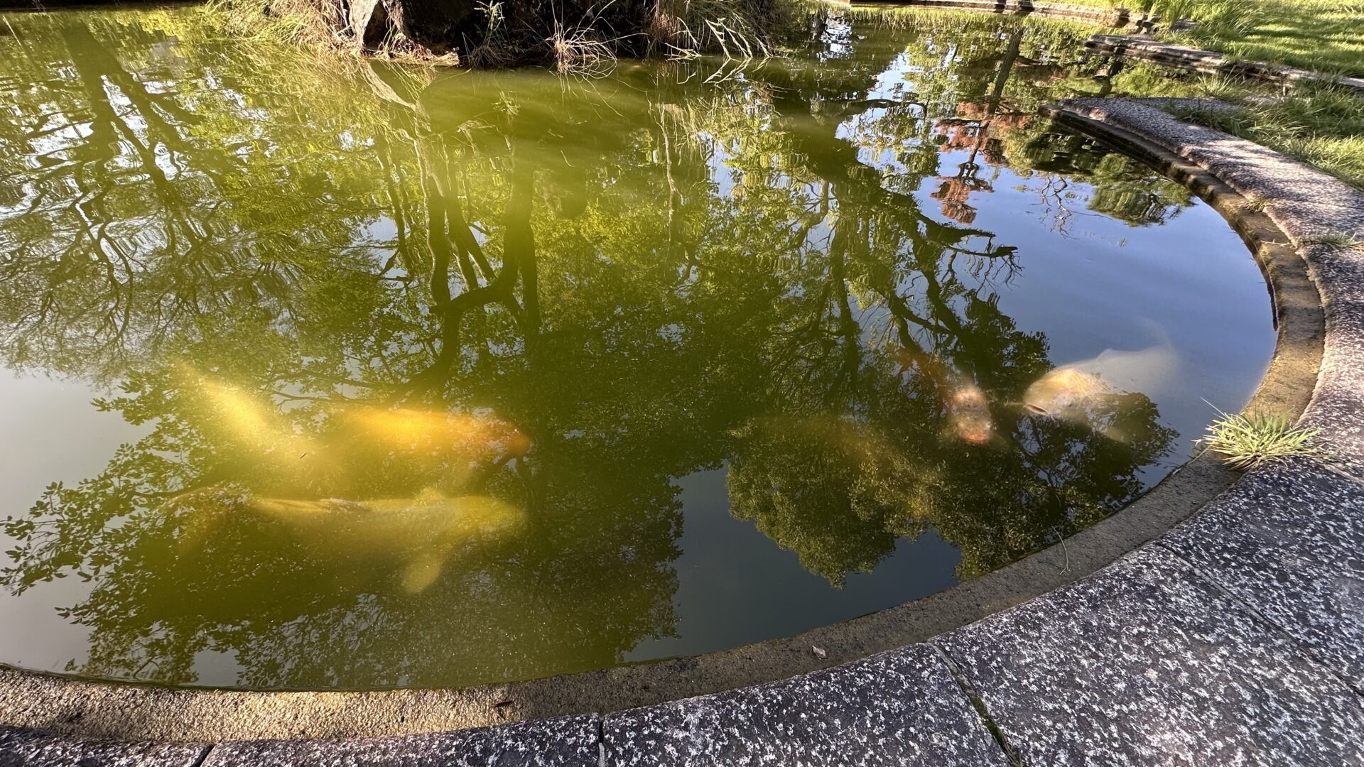
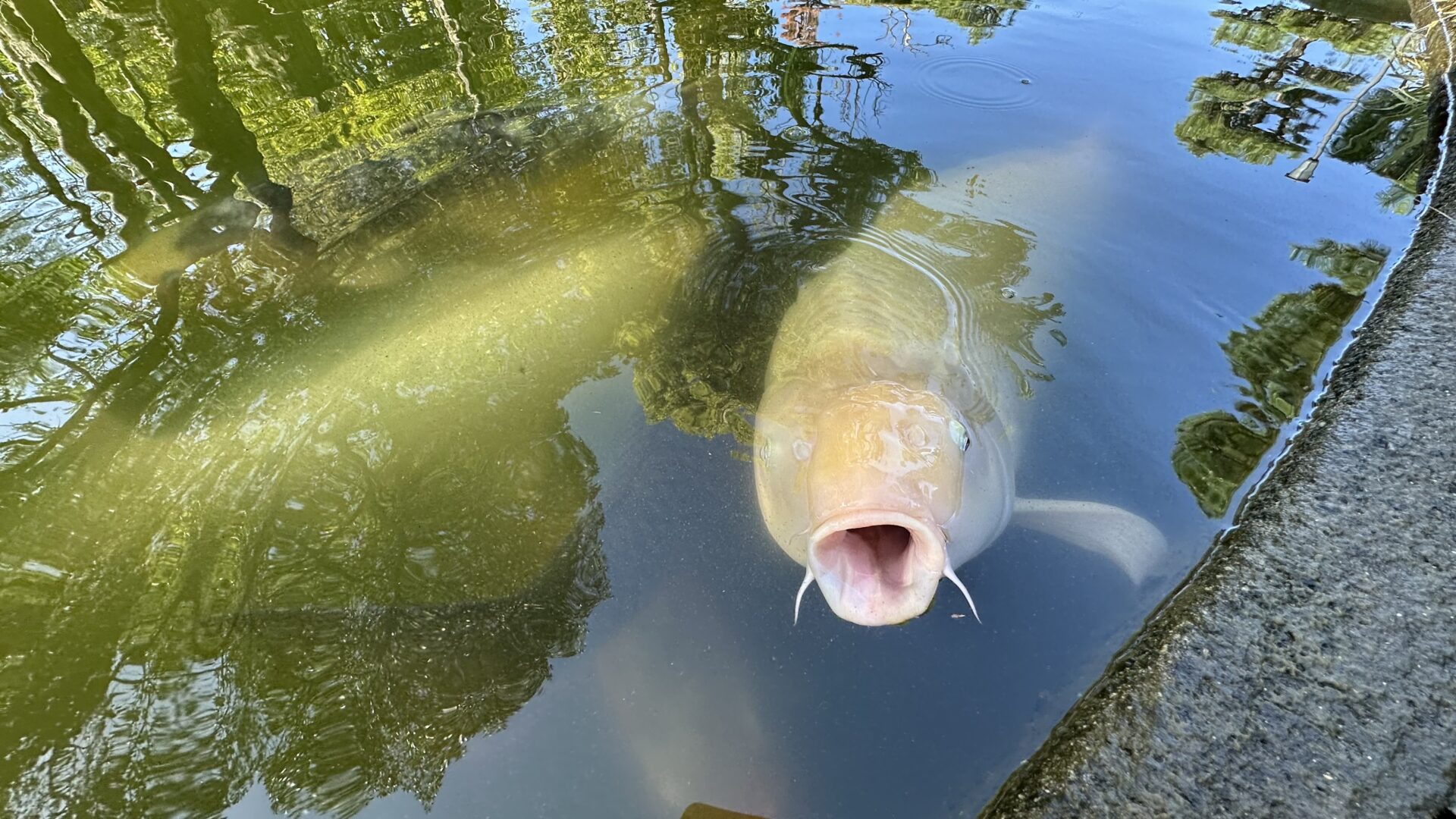
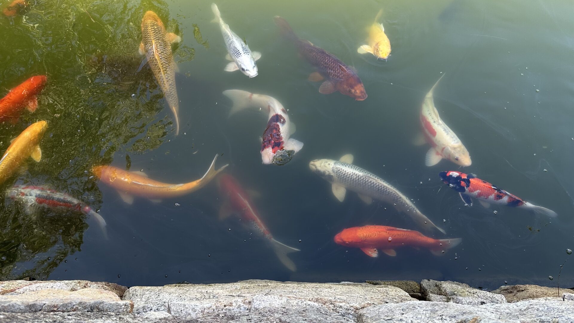
We wandered from our hotel in the vague direction of where Google Maps indicated the castle was. We found a lovely pond with super hungry koi. I wanted to pet them so badly!!! I also wanted to put my finger in the white one’s mouth. I made good choices and did neither of these things.
I then made a neutral choice by talking to strangers to tell them about the hungry hungry koi. We talked about where we were from and cracked a few jokes. They were from Sydney, and I jokingly asked if Australia would let me in. Bad jokes ensued, escalating to a plan where I could get a divorce and then marry a local to make it work out. He then admitted the conversation had gotten awkward, so we laughed and then moved on to our next adventures.
We found the castle, snapped a few pictures. Met up with the same Australian couple who were also impressed by the koi. They’d said they’d asked the fish what and how much they ate, but the fish apparently couldn’t understand their accents and wouldn’t answer their questions.
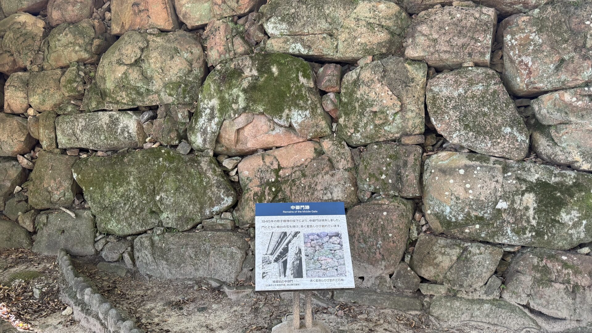
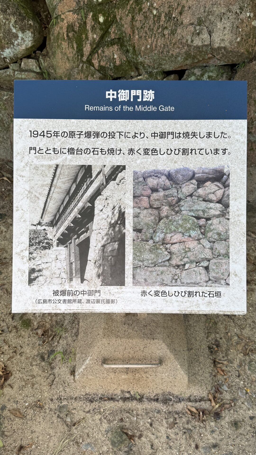
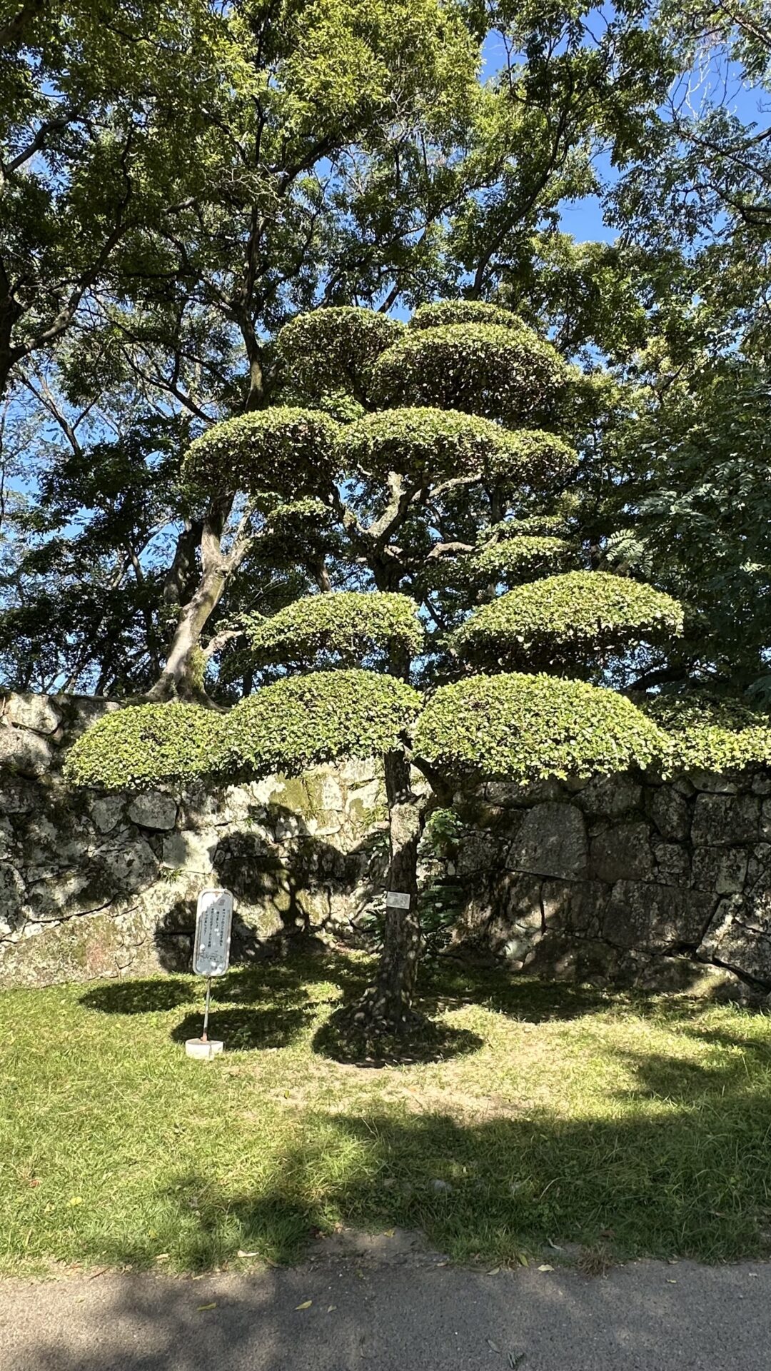
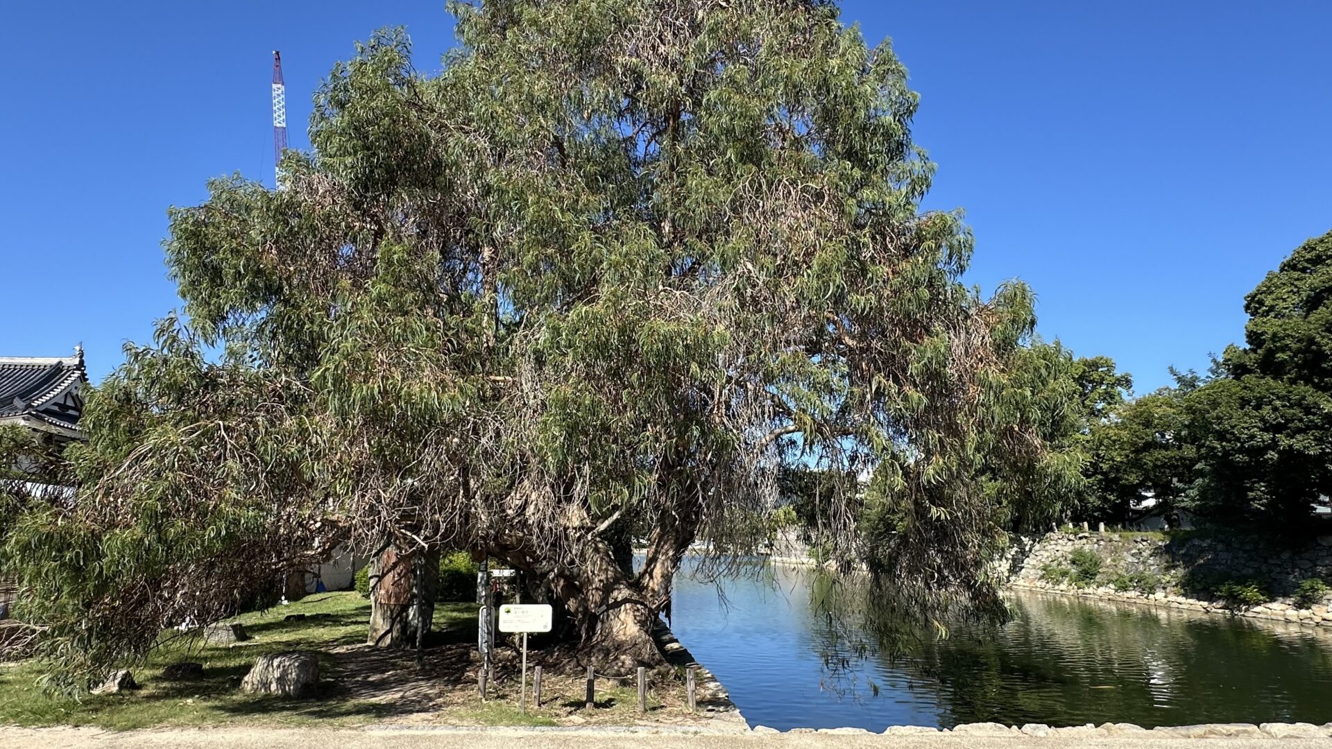
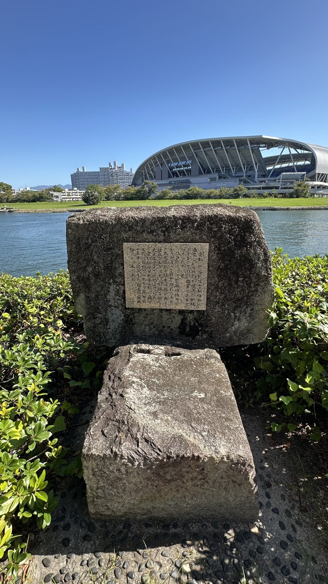
We wandered around the rest of the complex, finding more koi (SO MANY MORE KOI) and a number of trees that survived the bombing, even given their very close proximity to ground zero. I didn’t pet these koi either.
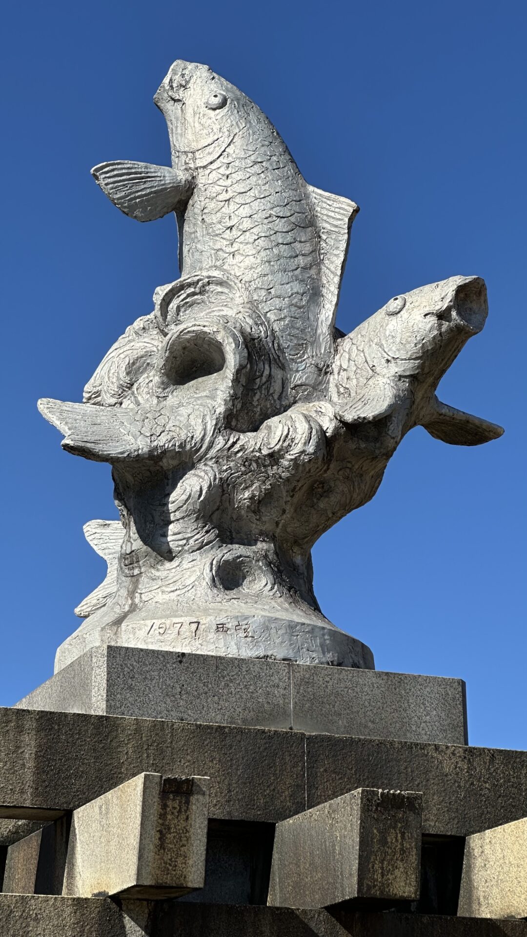
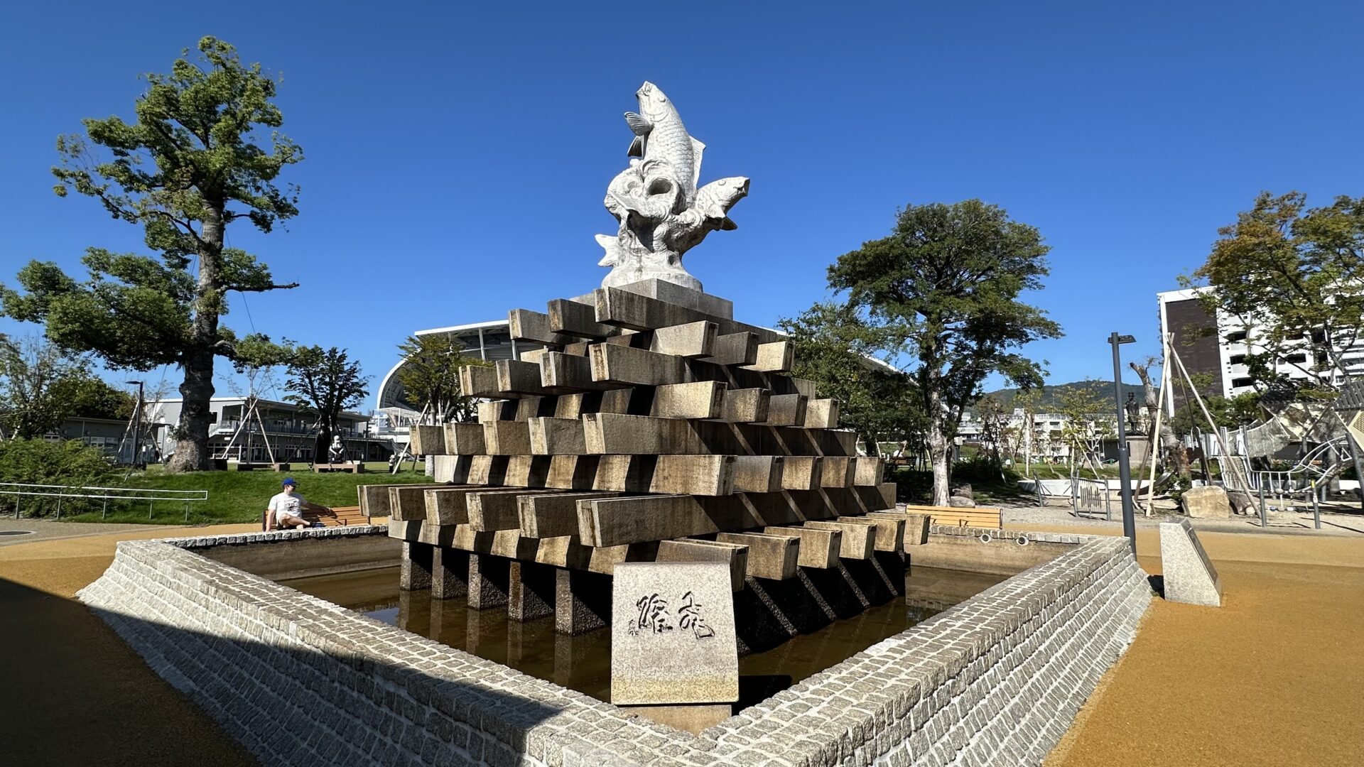
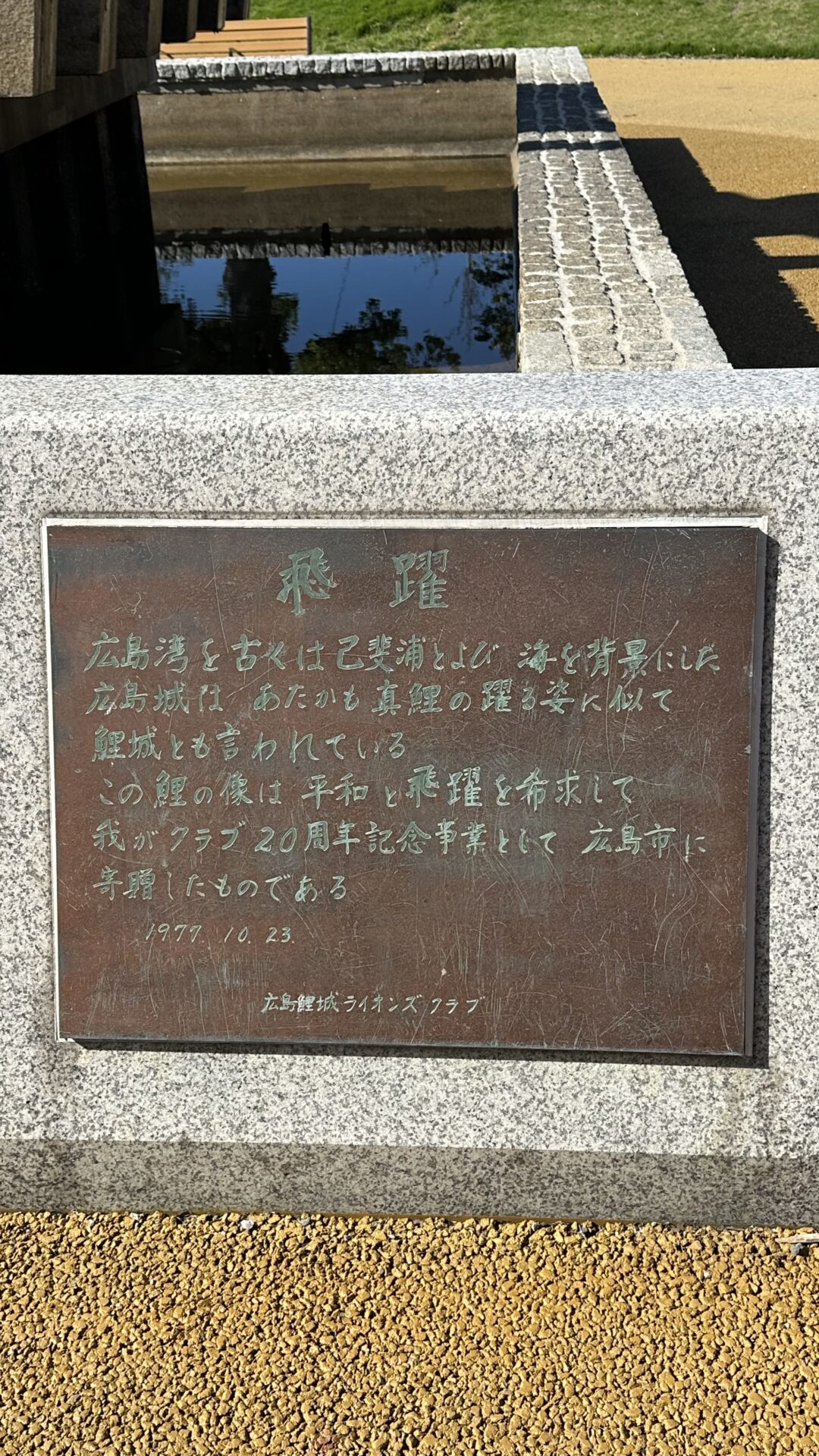
Koi Statue Choices
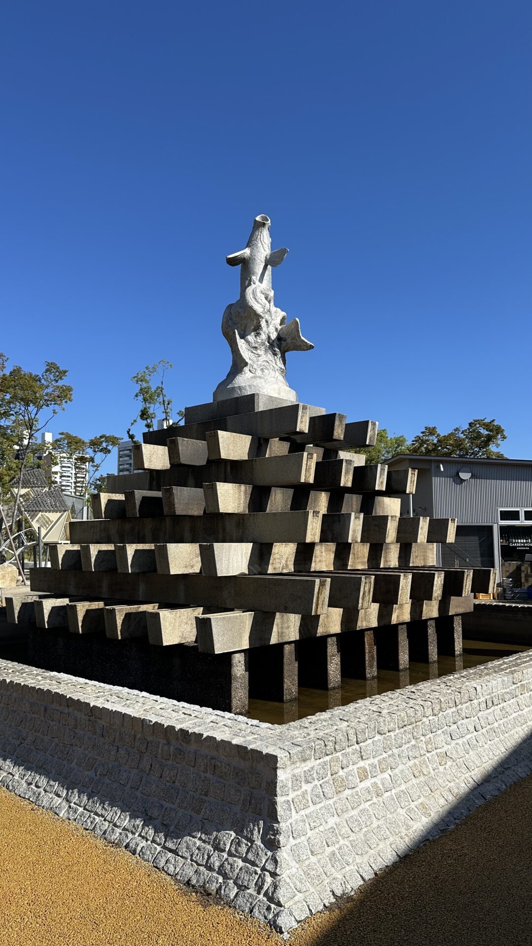
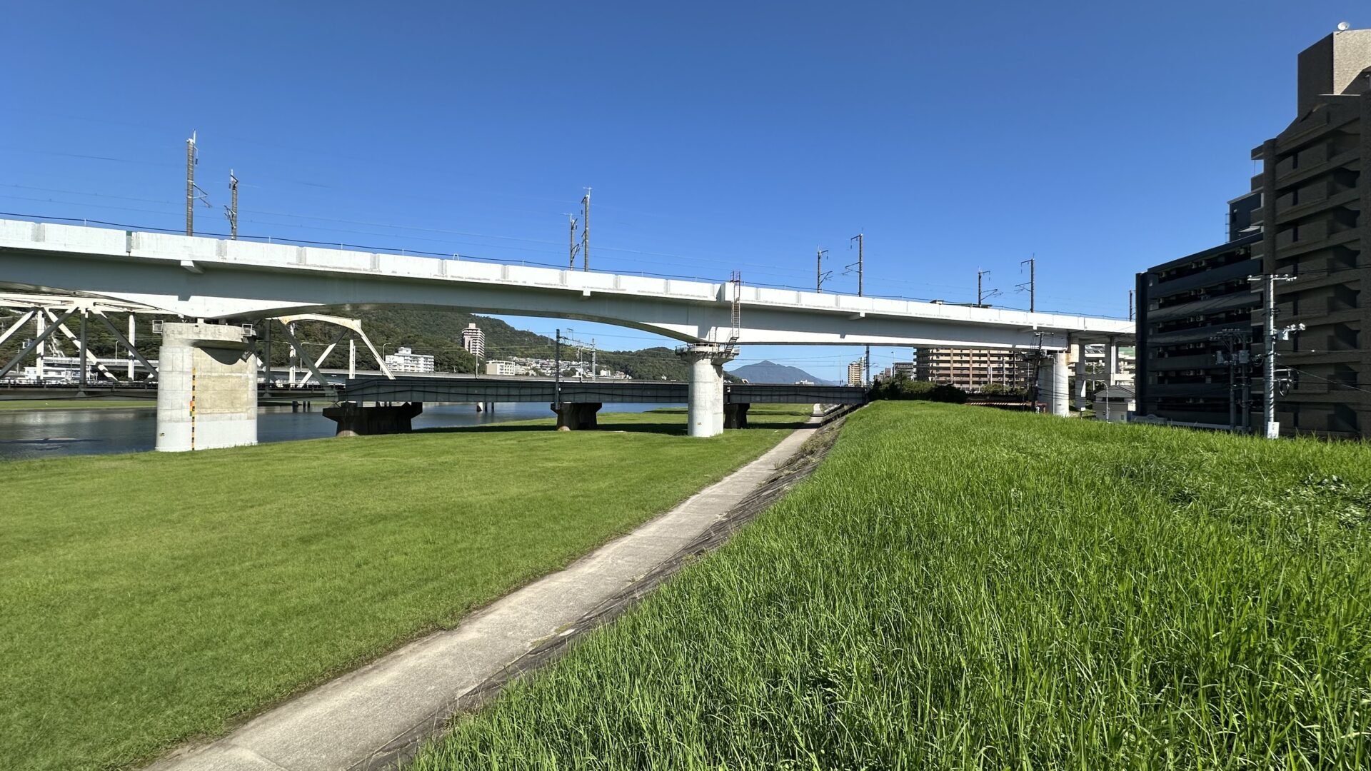
We left the castle complex and headed towards the Buddhist temple. We approached a stadium, not the super cool Vroom Vroom stadium, but another one. I got sidetracked by a koi statue and convinced Chris to stop so I could take pictures of it. Turns out that Hiroshima Castle was originally called Koi Castle, at least according to the plaque at the bottom of the statue.
Chris decided he was done. It was too hot. There wasn’t enough shade. He was too sick to continue on, so he chose to head back to the hotel, and I chose to continue on to the temple.
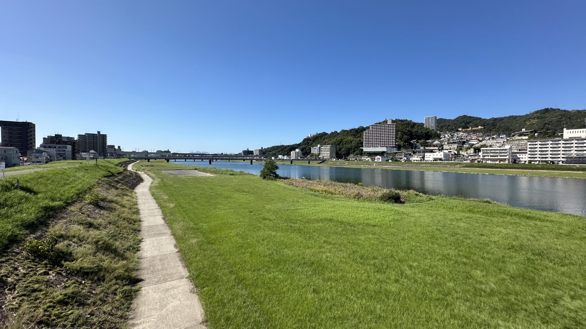
River Walk Choices
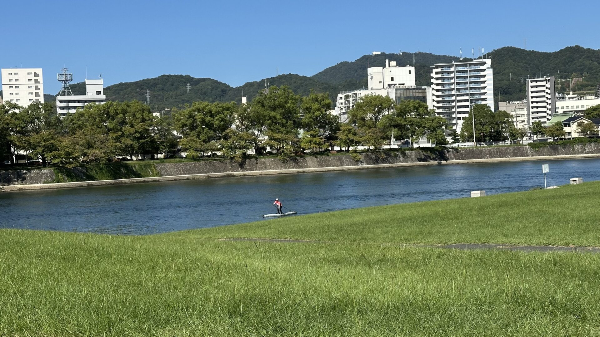
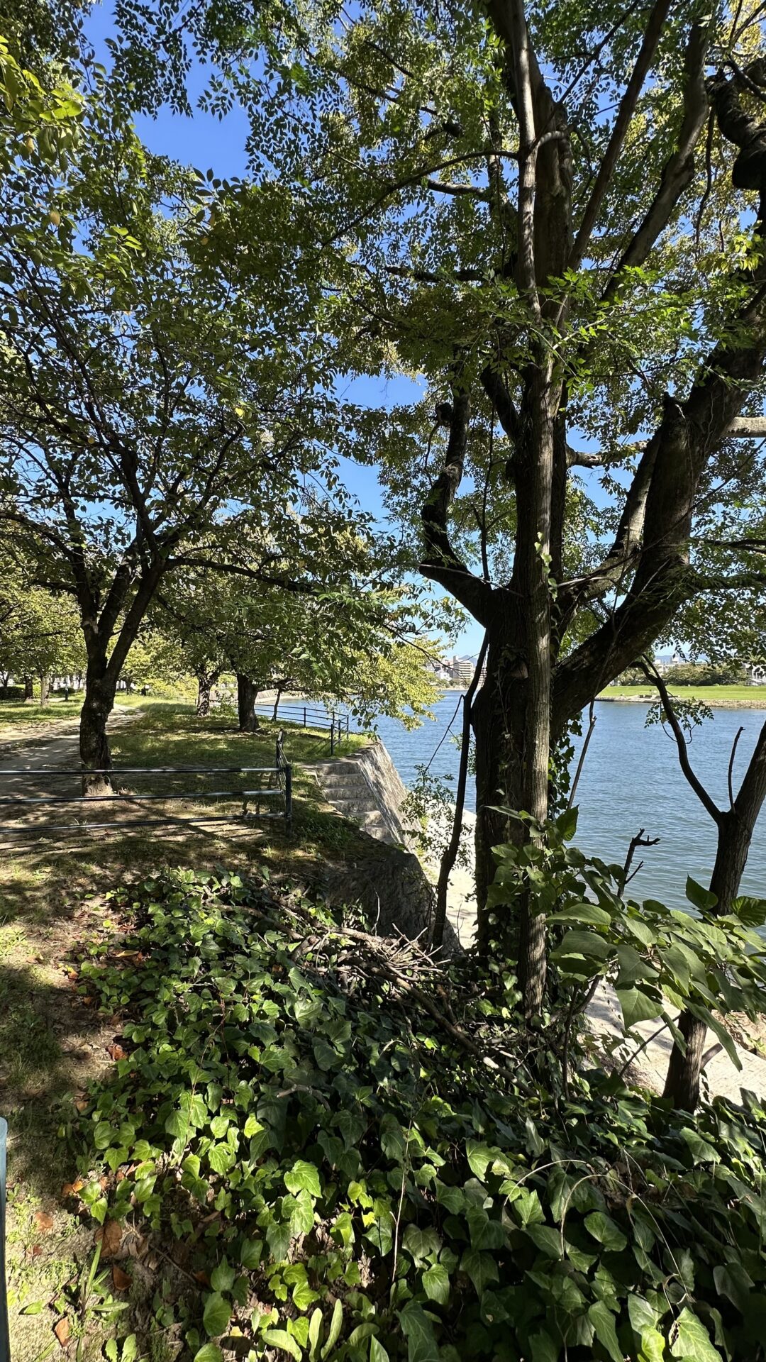
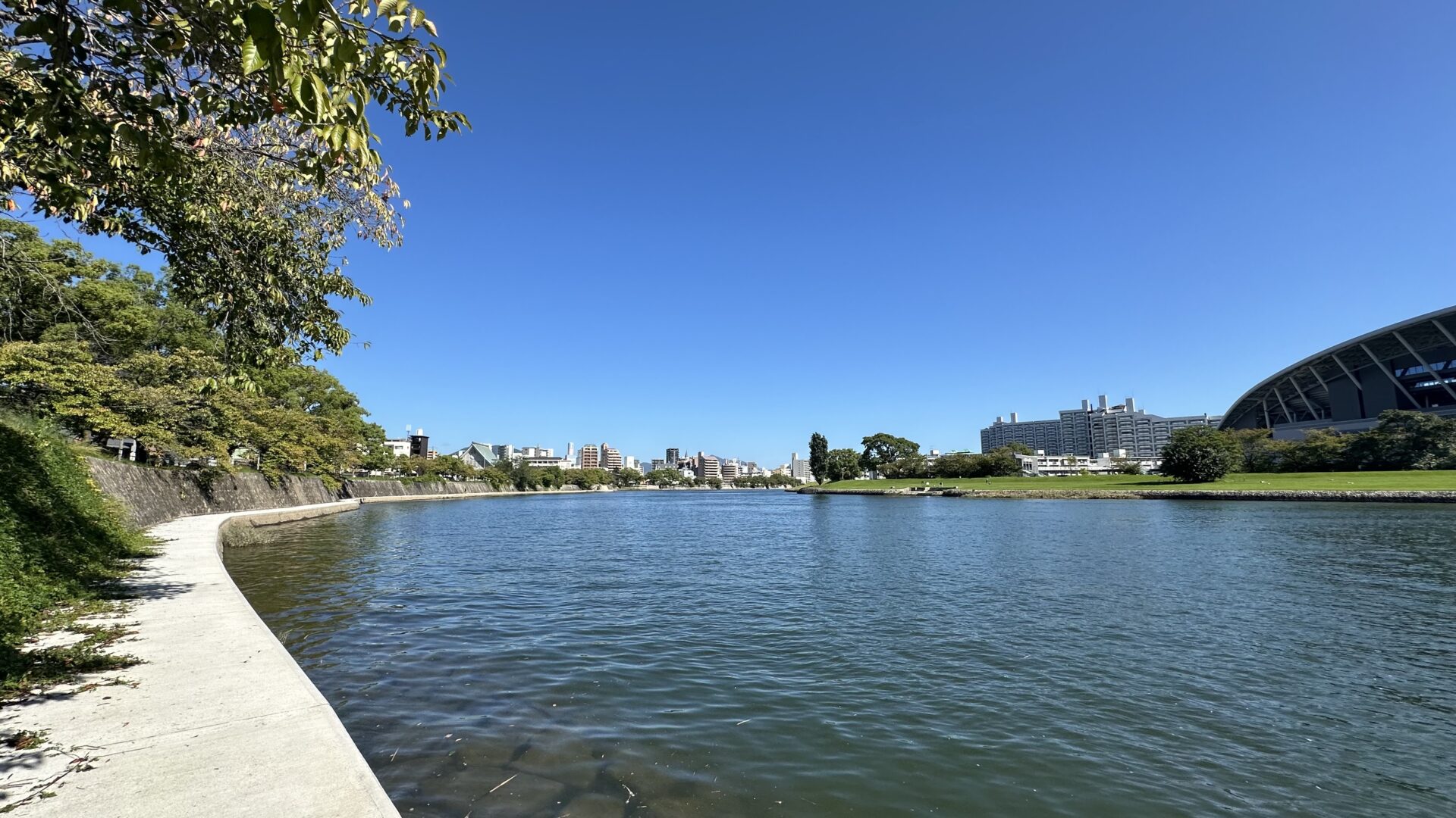
In general, I chose to walk near or through parks when going from Point A to B. Today was no different. Instead of taking a direct path to the temple, I found a riverfront park to explore. It was lovely, although it lacked shade.
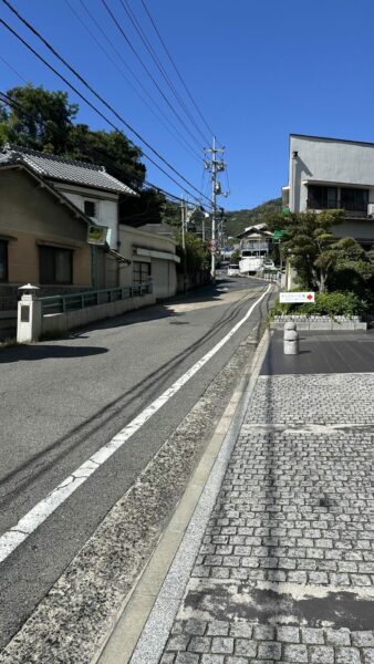
Buddhist Temple Choices
The road to the temple was an uphill slog. The road was narrow with minimal walking paths. It reminded me a lot of similar places in Italy and Mexico. What surprised me the most was the people saying konichiwa (hello) to me! Seattle doesn’t really acknowledge other people as you walk by, and to date, that hasn’t been the case in Japan either. But here? On this hill? It was a thing!
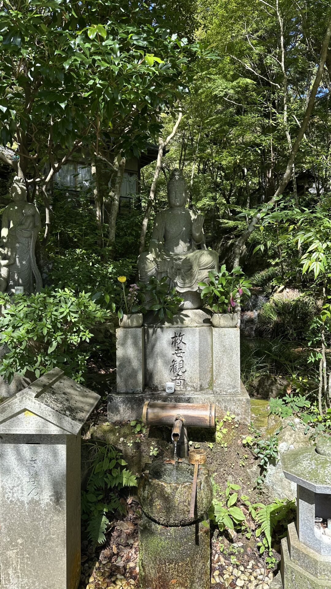
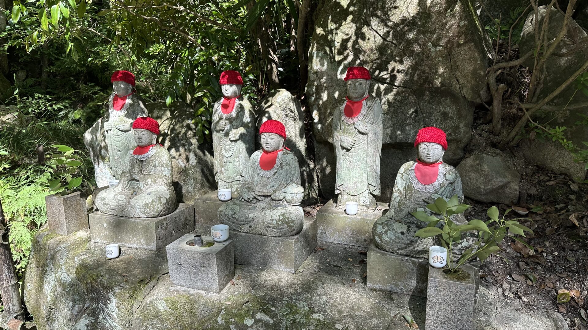
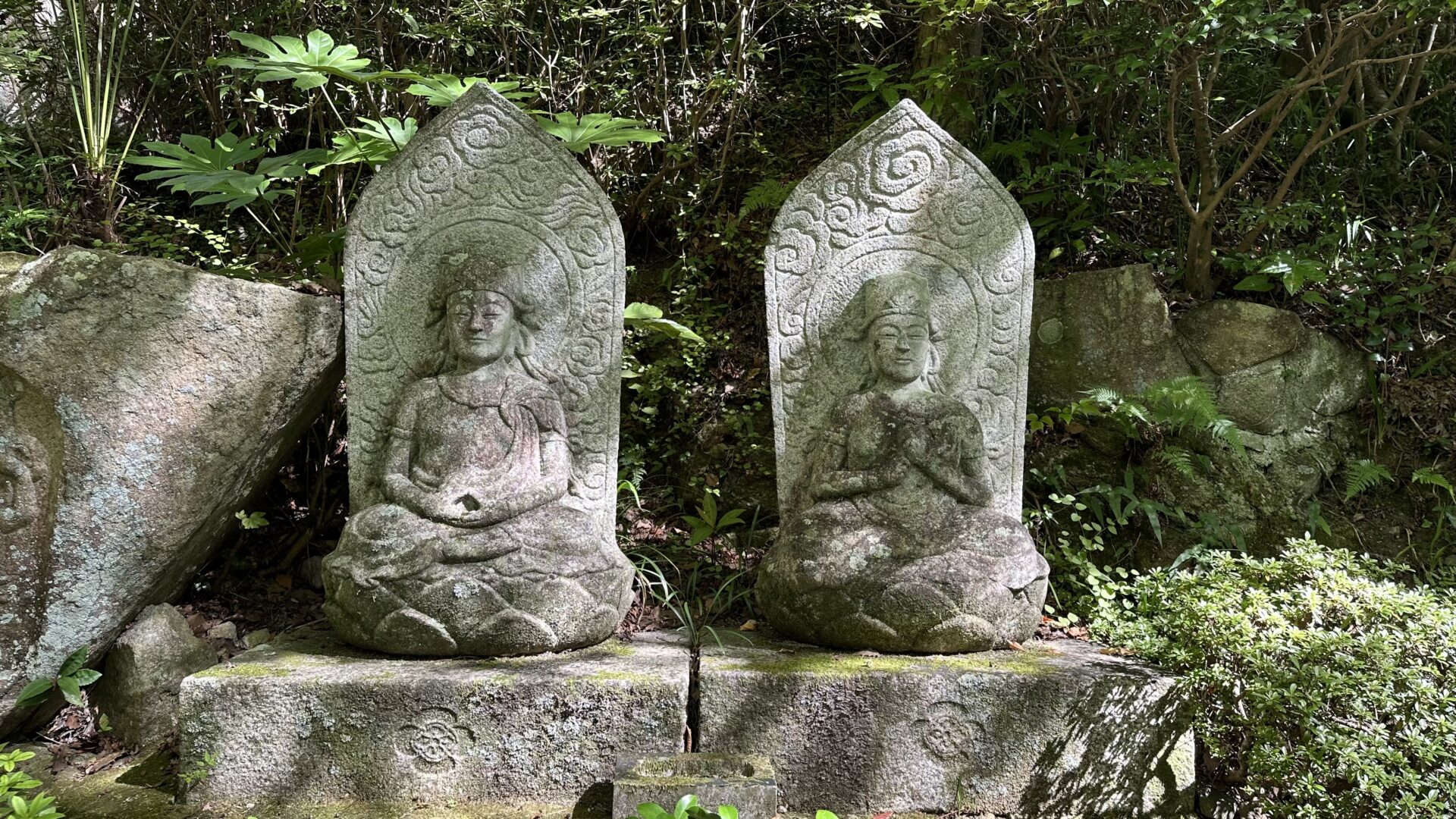
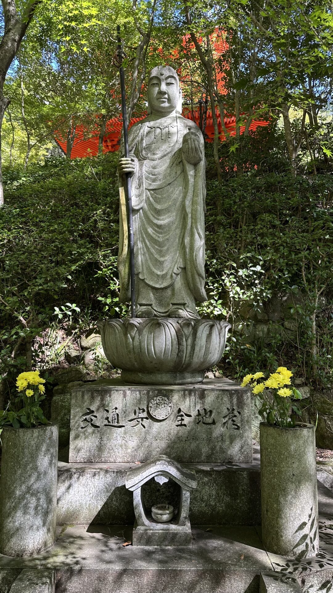
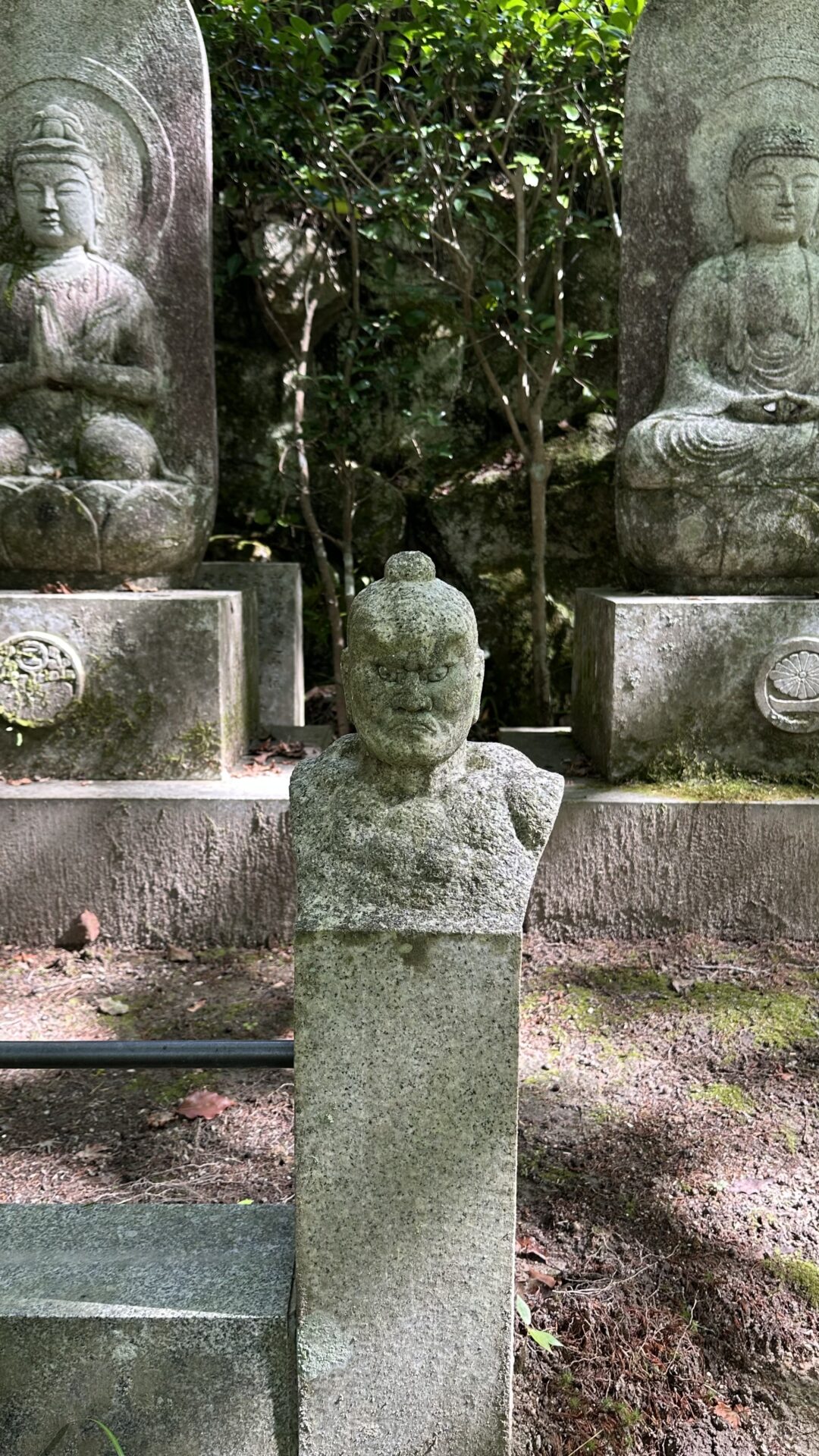
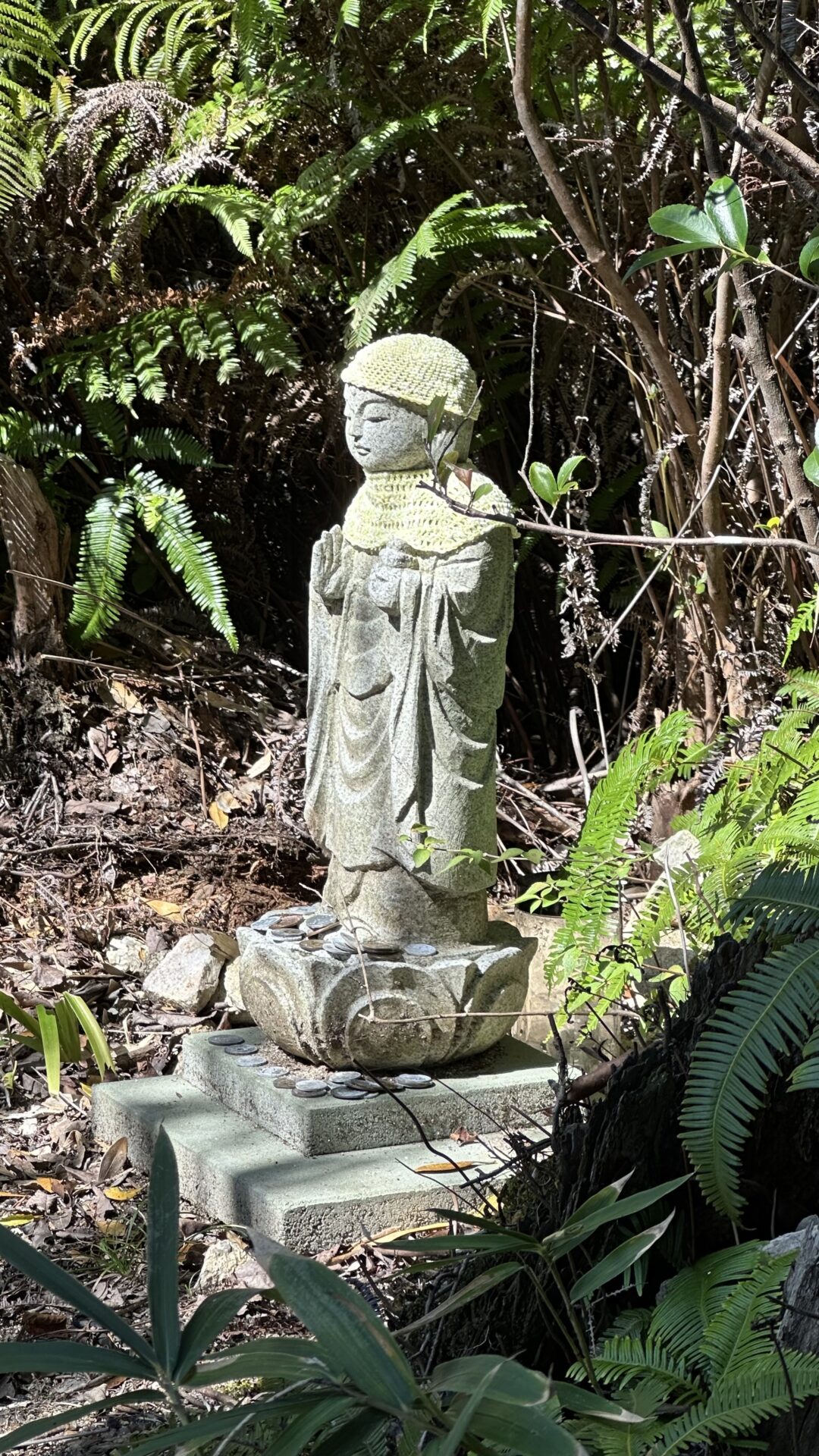
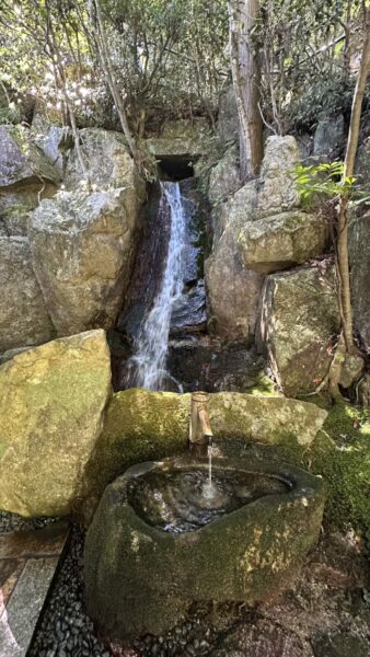
I arrived at the temple and was immediately enamored. It’s super cozy. It’s quiet and shaded. There are statues everywhere, and a number of them have these amazing red hats!
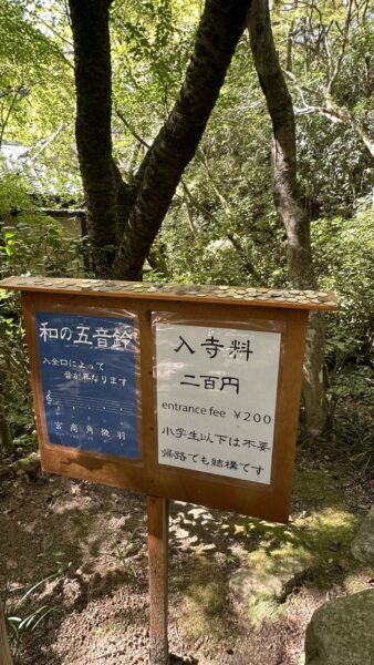
There is a small entrance fee, and it’s all done on the honor system! Can you imagine this happening in the States?! I paid for Spirit Chris and myself and then made my way further into the property.
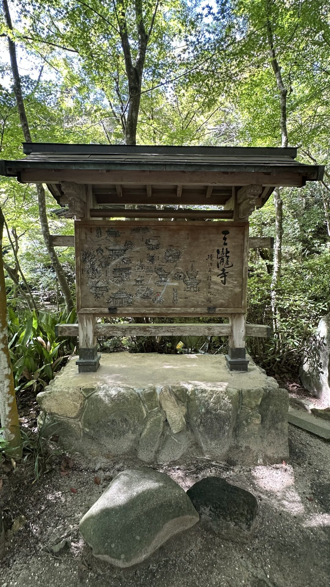
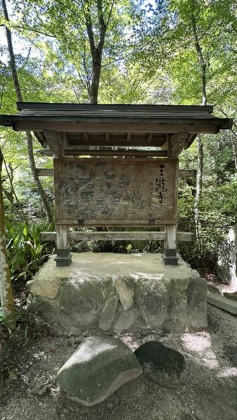
The temple has many small buildings throughout. At the entrance, there was a map of them all. I didn’t understand it, which is unfortunate in retrospect.
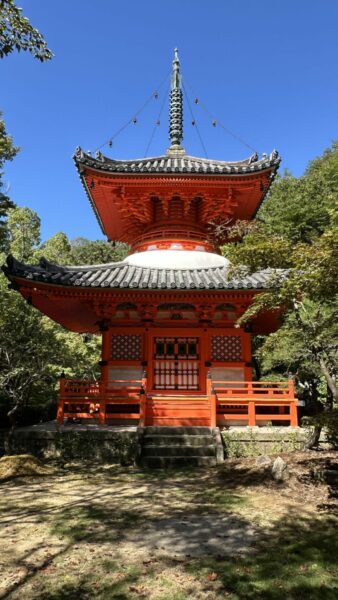
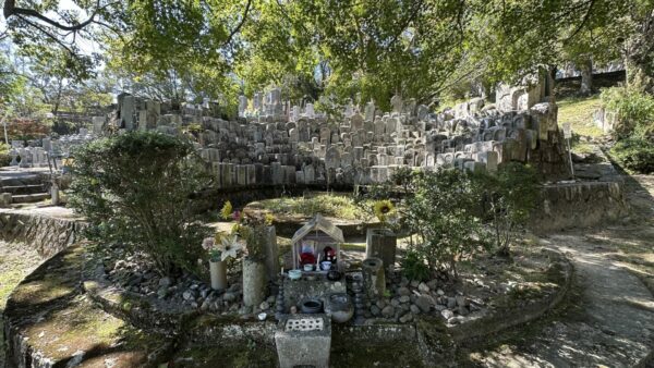
I admired the artwork and then ascended to the bold orange temple.. It was quite lovely, as was the cemetery near it.
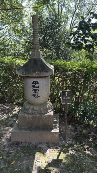
Unusual for me was a sign pointing to ground zero. It was the first time I’ve seen such a sign. We’d previously seen signs indicating that this tree or that one had survived the bombing, but not indicating the direction of ground zero
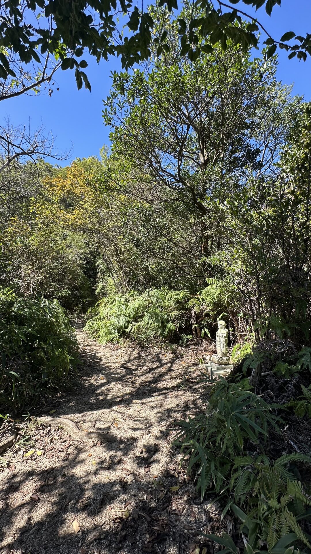
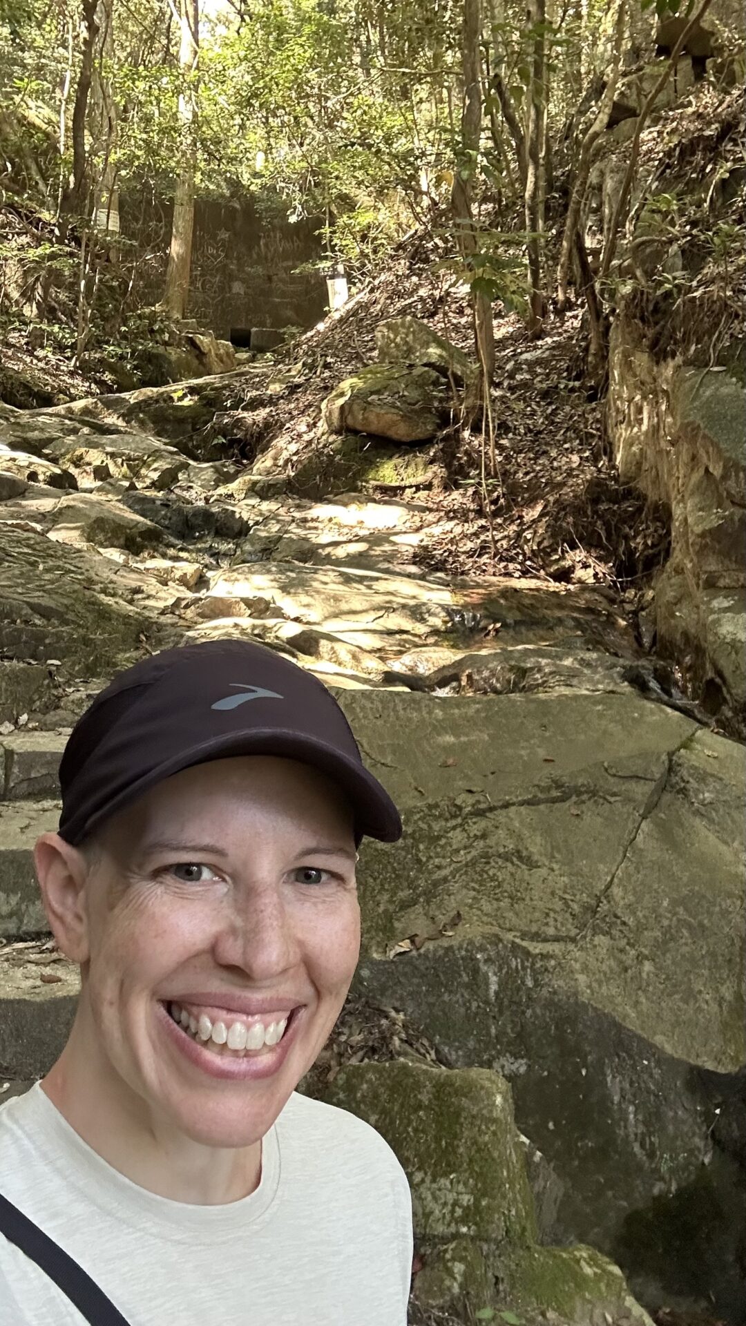
I left the orange temple and headed back the way I came. There was a small family directly to my left, so I went right. I had no idea where the waterfall was, so one direction was as good as any other in my mind.
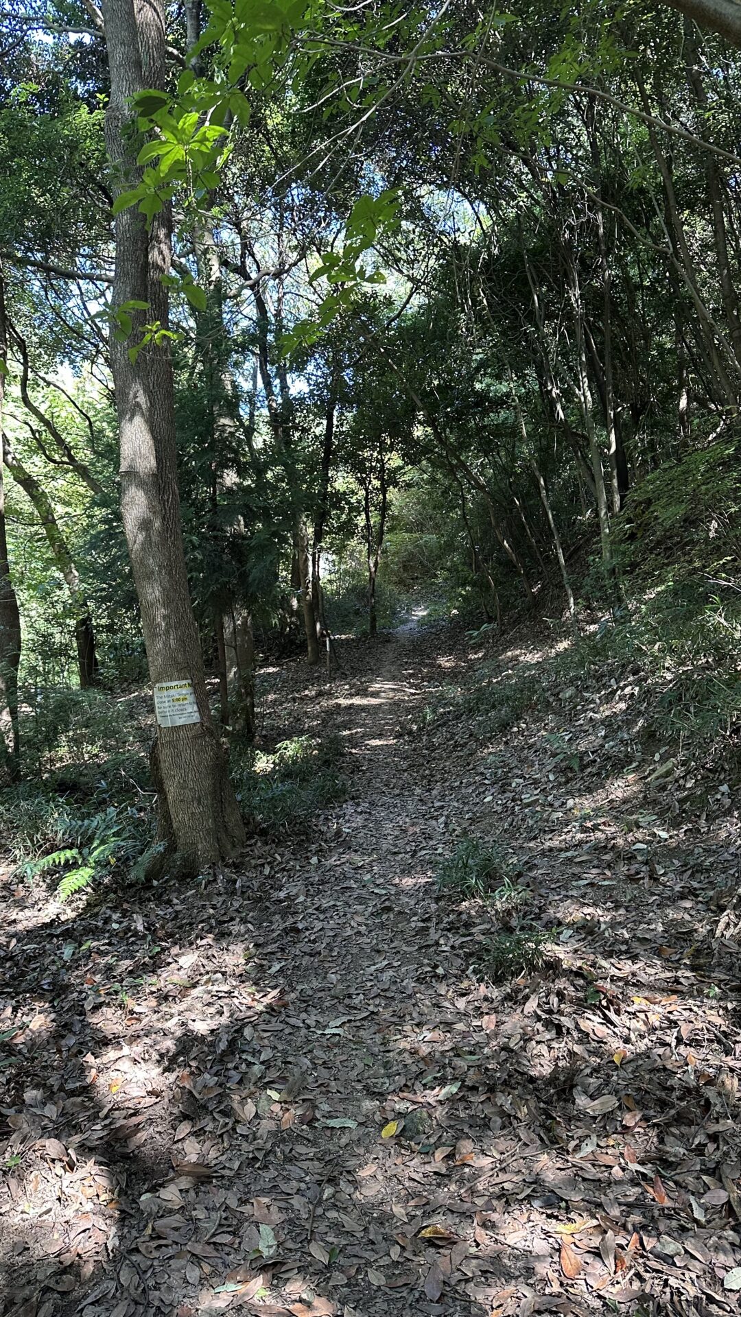
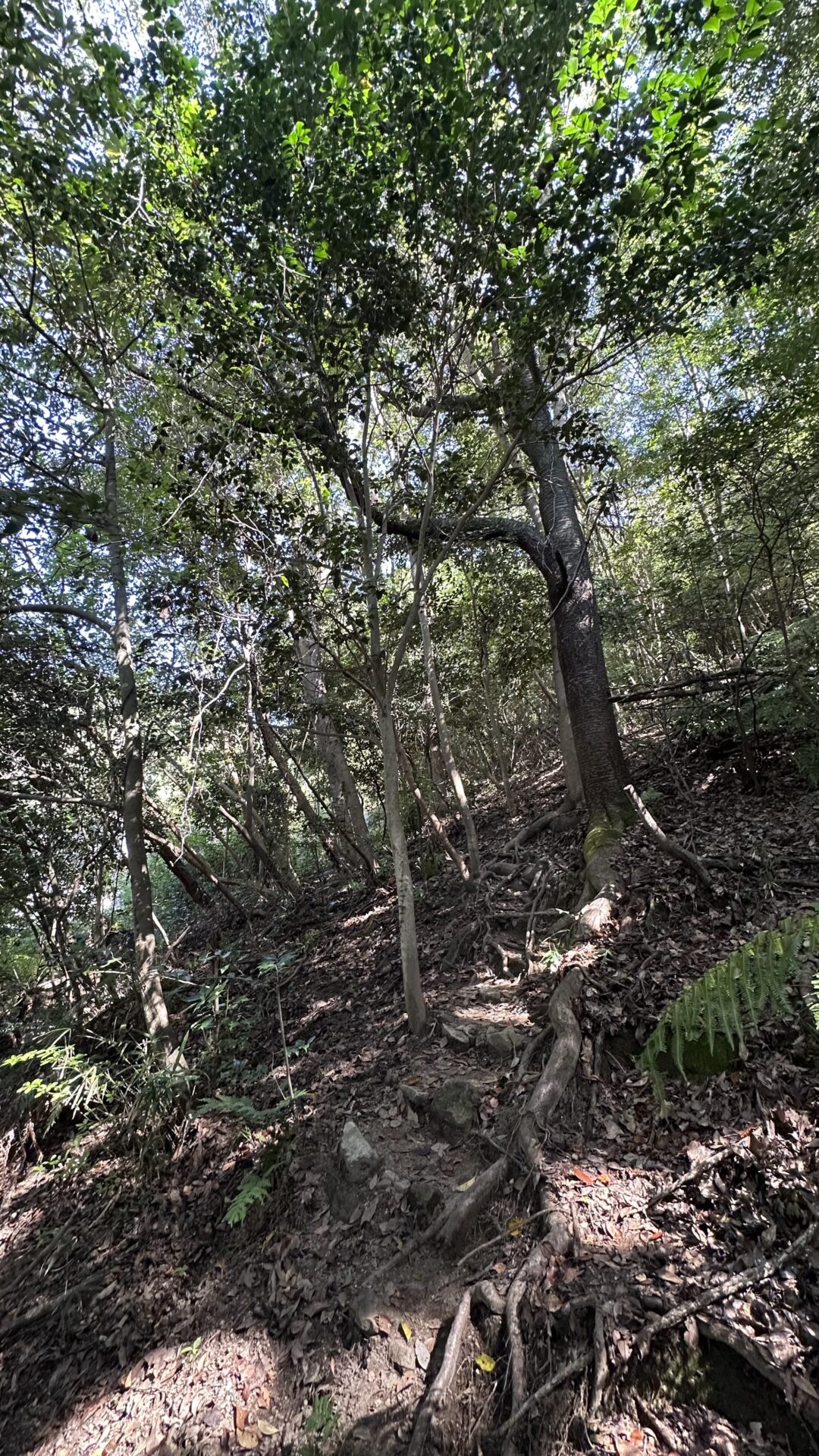
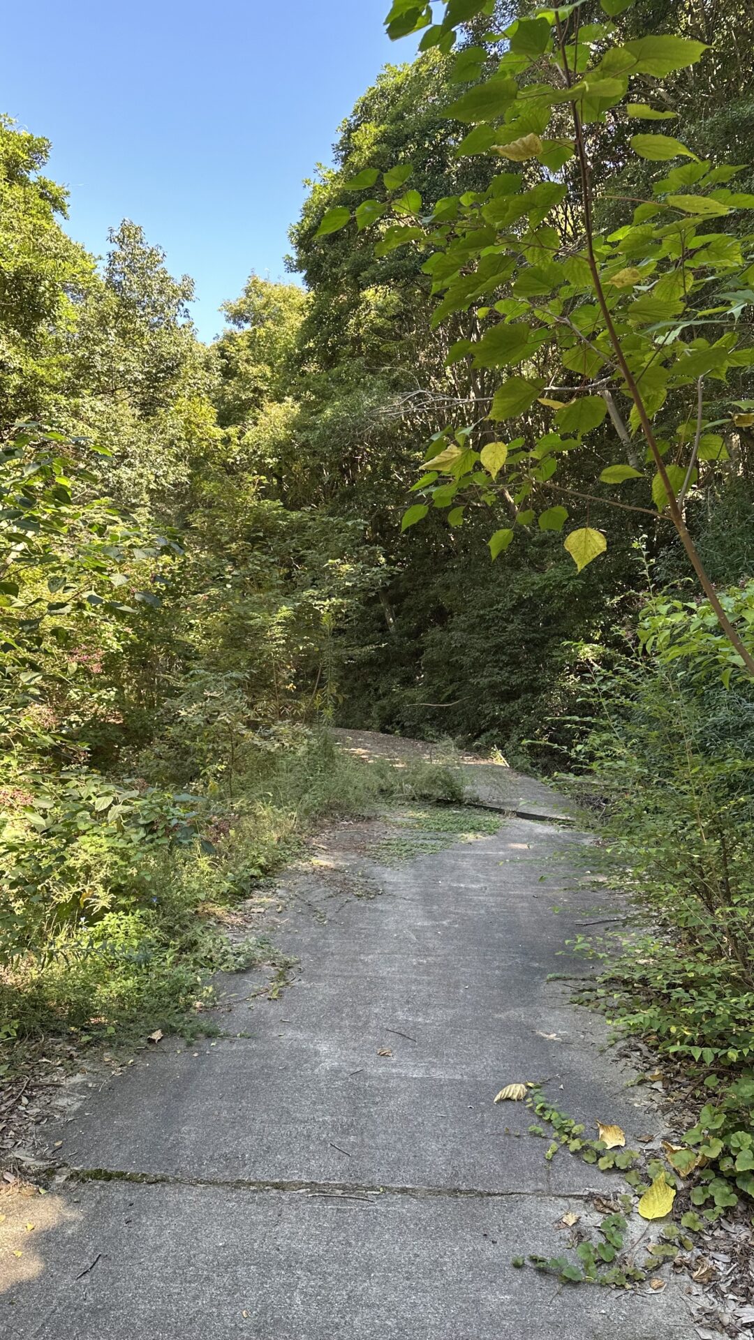
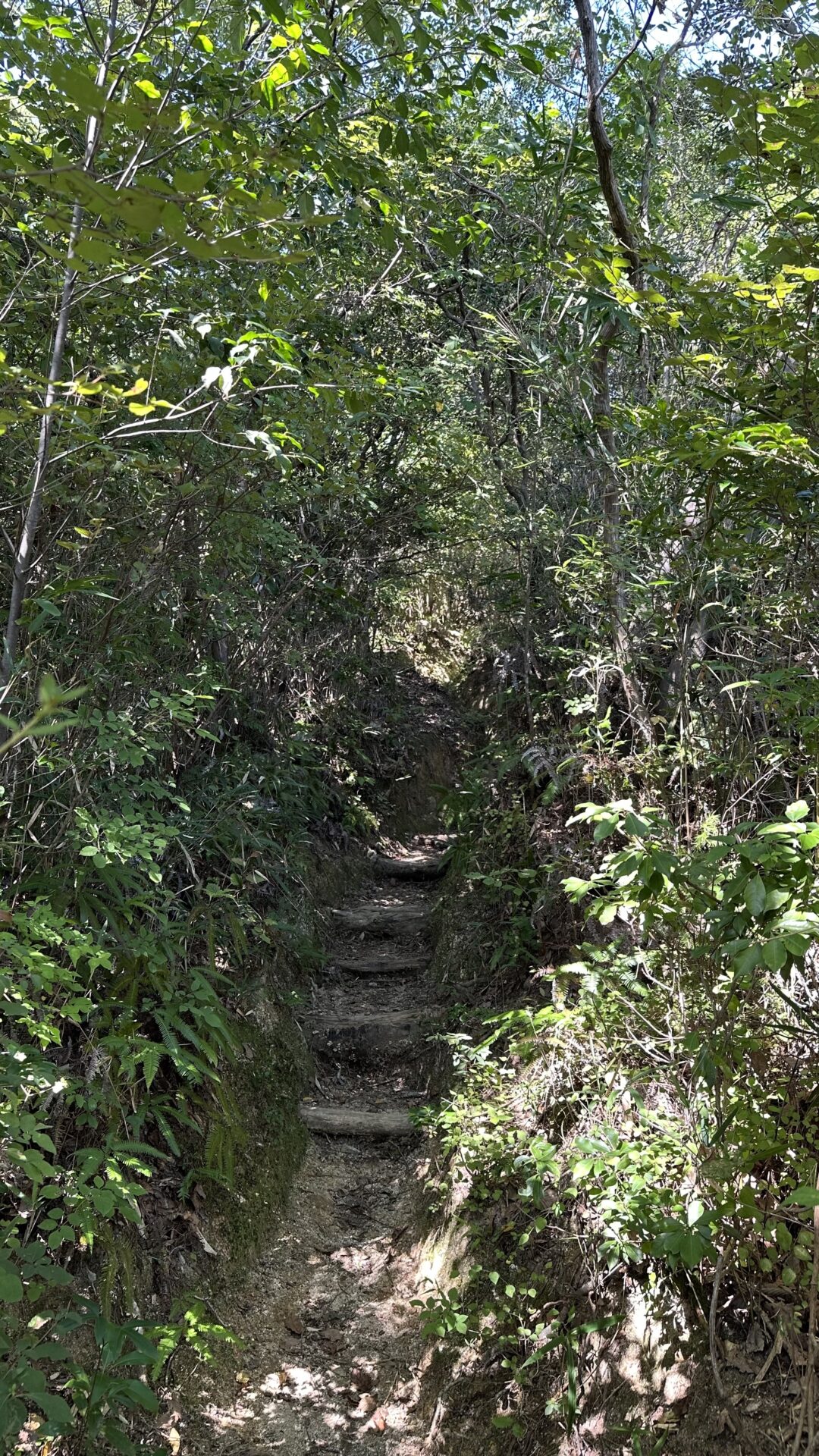
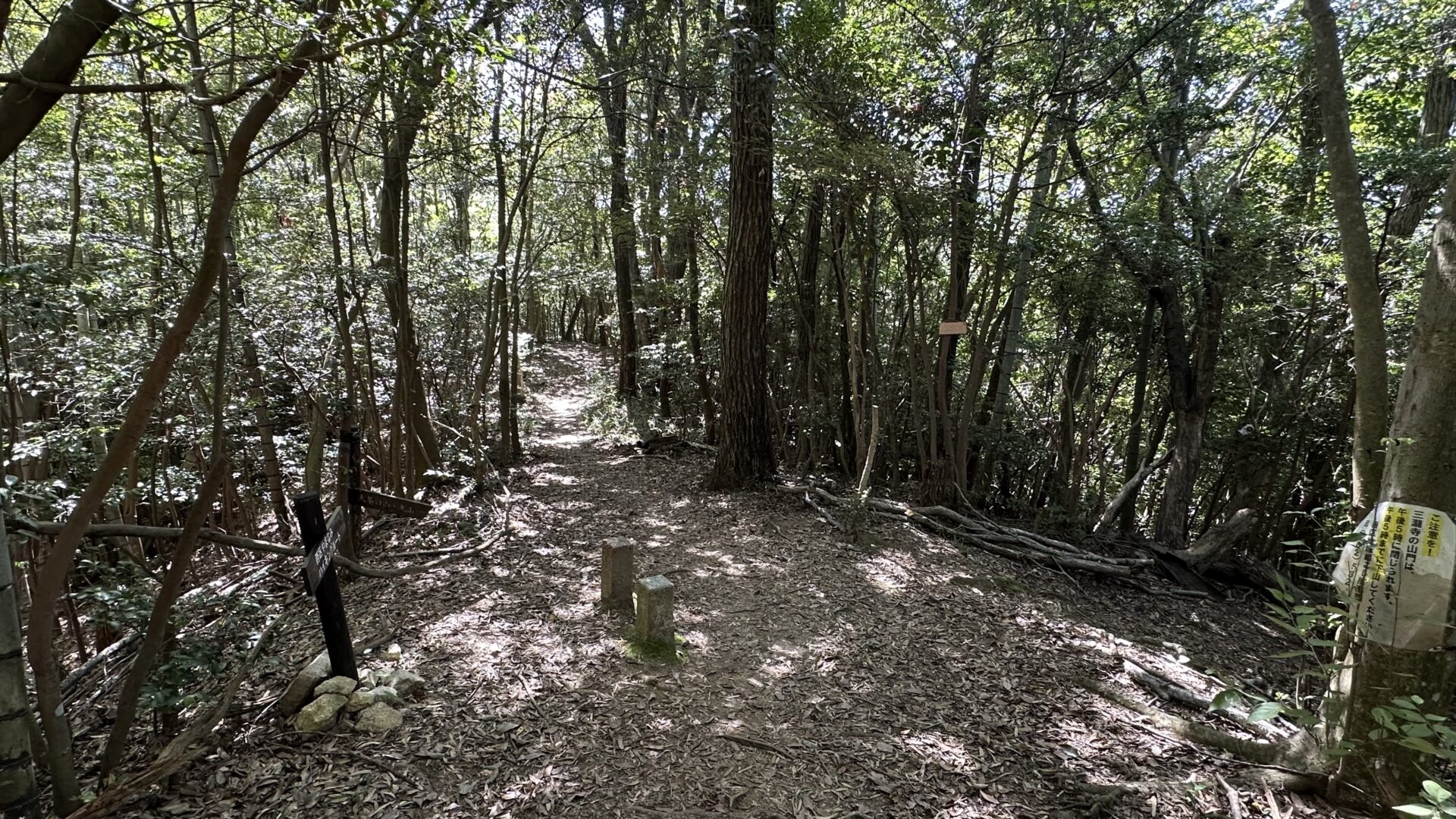
I went up and up and up some more. The trail covered all sorts of terrain – sometimes a paved path, sometimes dirt, sometimes an overgrown footpath.
Eventually, I realized I was nowhere near the temple or the waterfall. I also realized that my phone was at a paltry 28% battery. I sent Chris a screenshot of Google Maps and this message: “Updates: I’m currently here. I’ve yet to find the waterfall, and I’m kind of on top of a mountain. My phone is also only at 28%. Expect me to go radio silent at some point.”
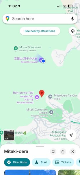
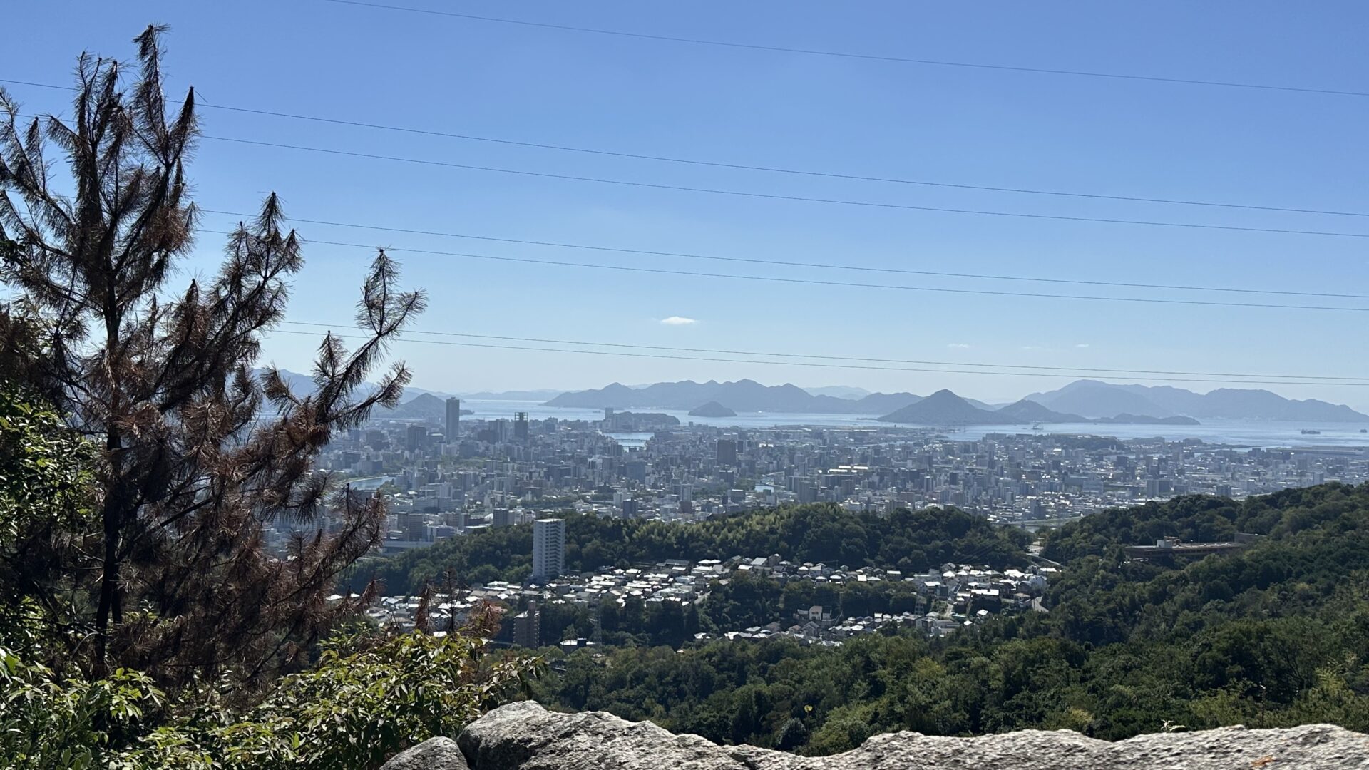
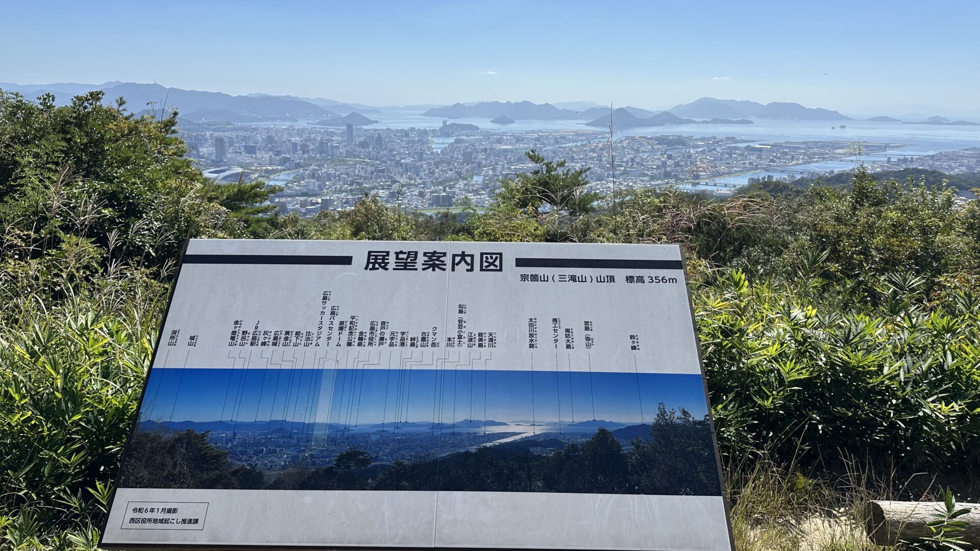
I was kind of being a responsible adult? Letting people know where I was and all that. Of course, I continued to press on to the scenic viewpoint listed on the map. It was right freaking there after all. See the purple dot just under my blue dot for reference. I had no idea that there was so much more to the city on the other side of the mountain!
It was at this point that I needed to make another key choice. Do I continue up or go back the way I came? This tiny statue decided my fate of continuing up.
The trail got much steeper, and my phone battery got even deader. One of the many times I paused to catch my breath, I questioned my decision to continue up. My phone was nearly dead. I had no water with me or even any at all in the past several hours. It wasn’t a smart decision to continue up the mountain and yet…
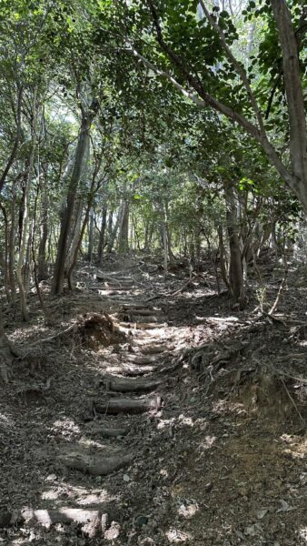
I looked at the map one more time, and it said I was only .1 miles away from the summit. So be it. I can’t quit now.
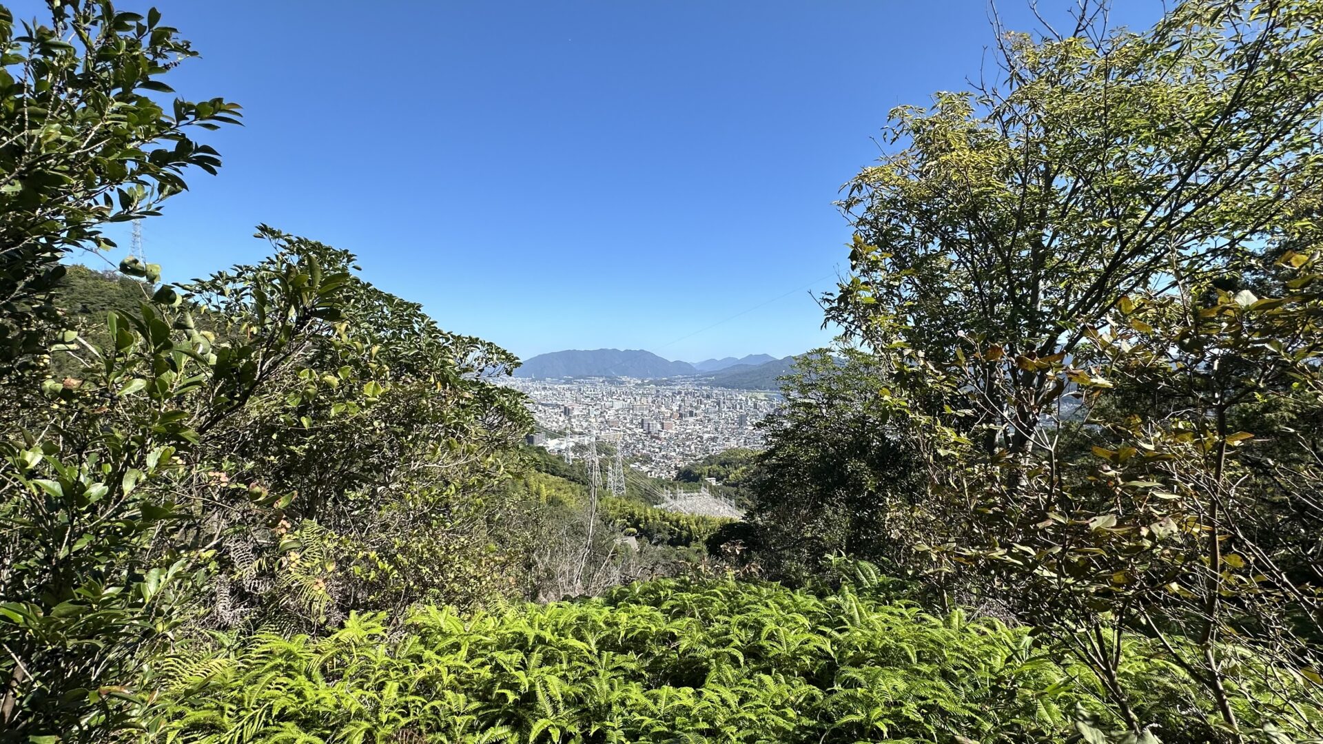
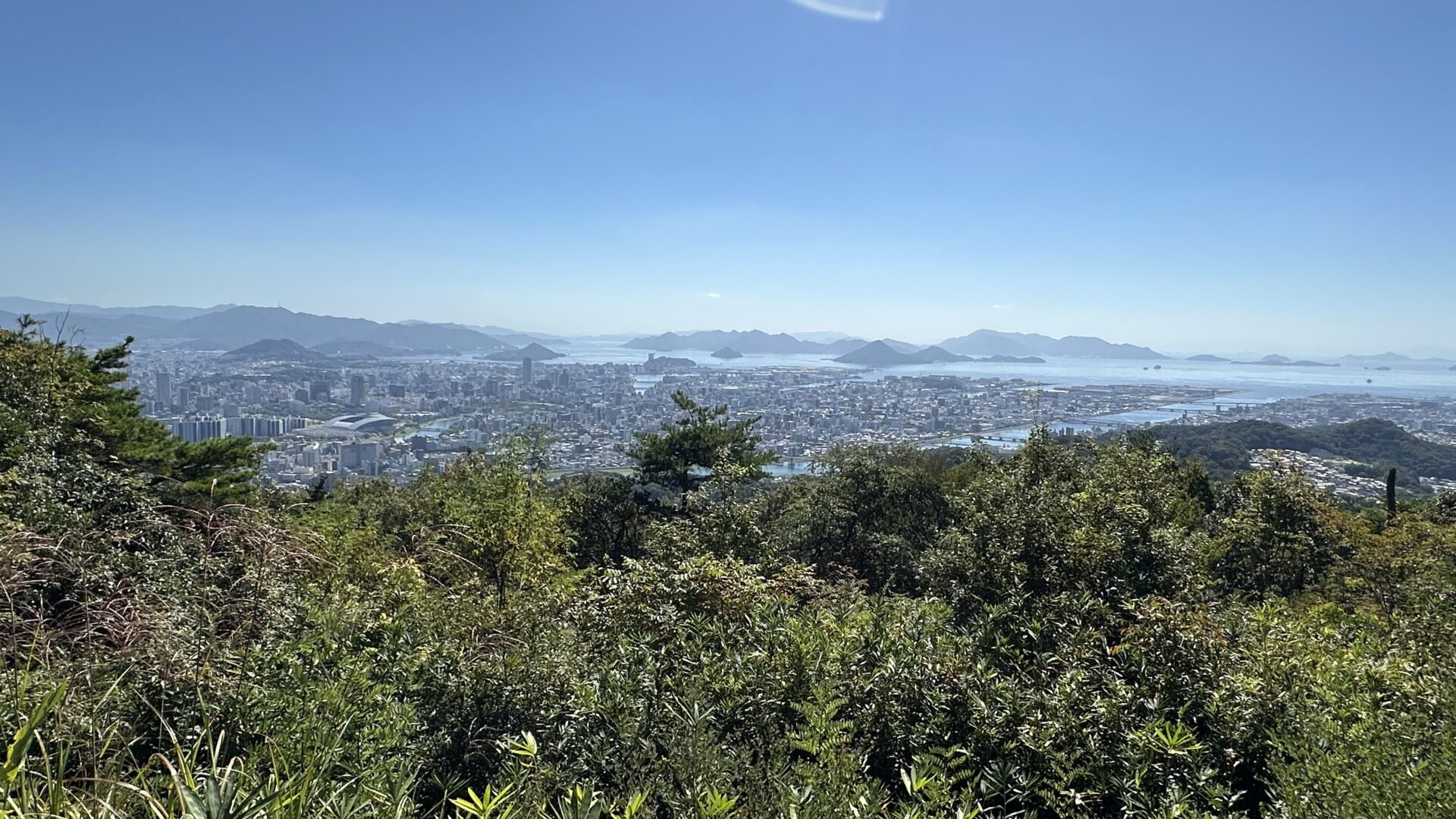
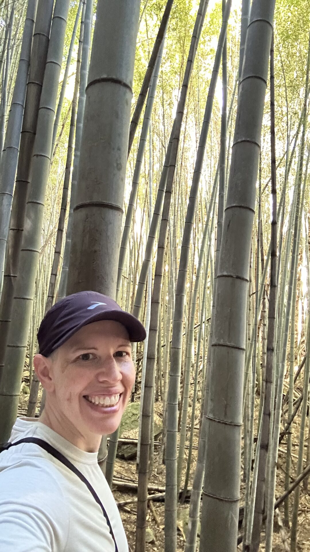
Decision made, I huffed and puffed my way to the summit. I made the right choice. The views were breathtaking.
There were 8 people in this area when I arrived. 4 were enjoying a picnic in the shade of a tree, 2 were gazing at the view, and the last 2 left as I approached. Of particular note is that my path ended in a T-shaped intersection, and people left via the path to my immediate left.
I sat in the shade for a long time recovering and just gazing out at the city below, but mostly the islands in the distance. I wish we had another day to go on a boat tour and explore them. Another time.
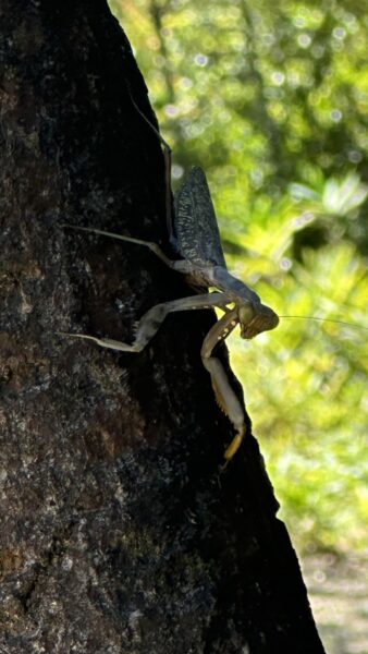
I made a friend while I rested. I’m not sure I’ve ever seen a praying mantis in real life before. It had an interesting gait as it walked up the tree. A bit palsy-like.
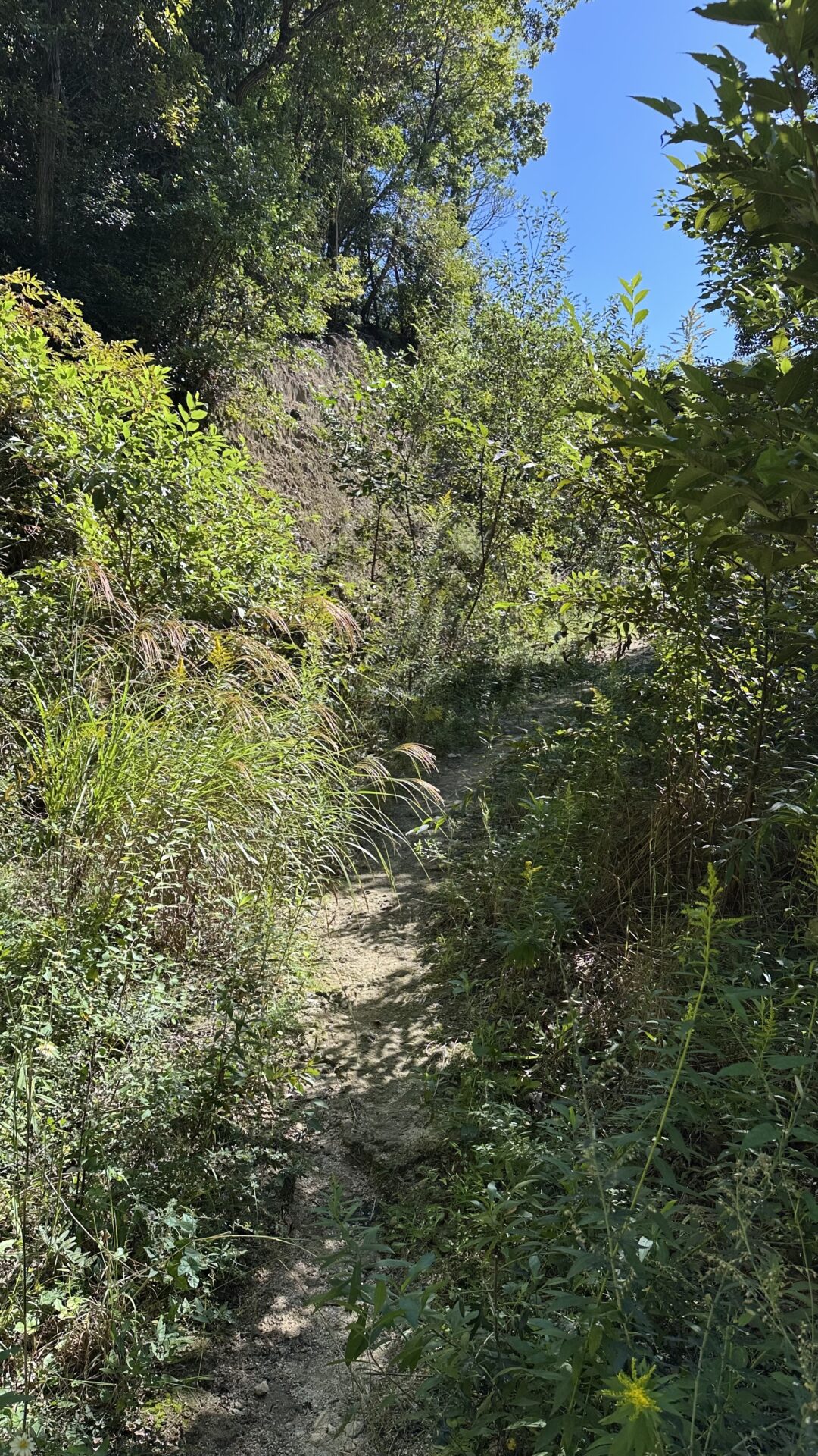
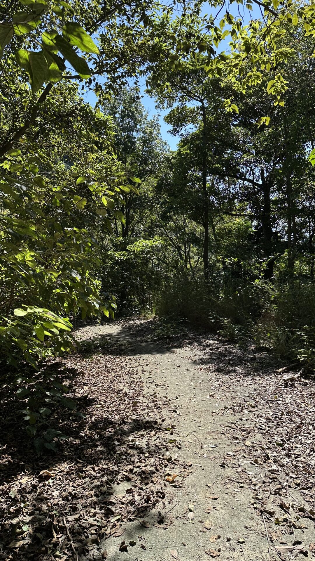
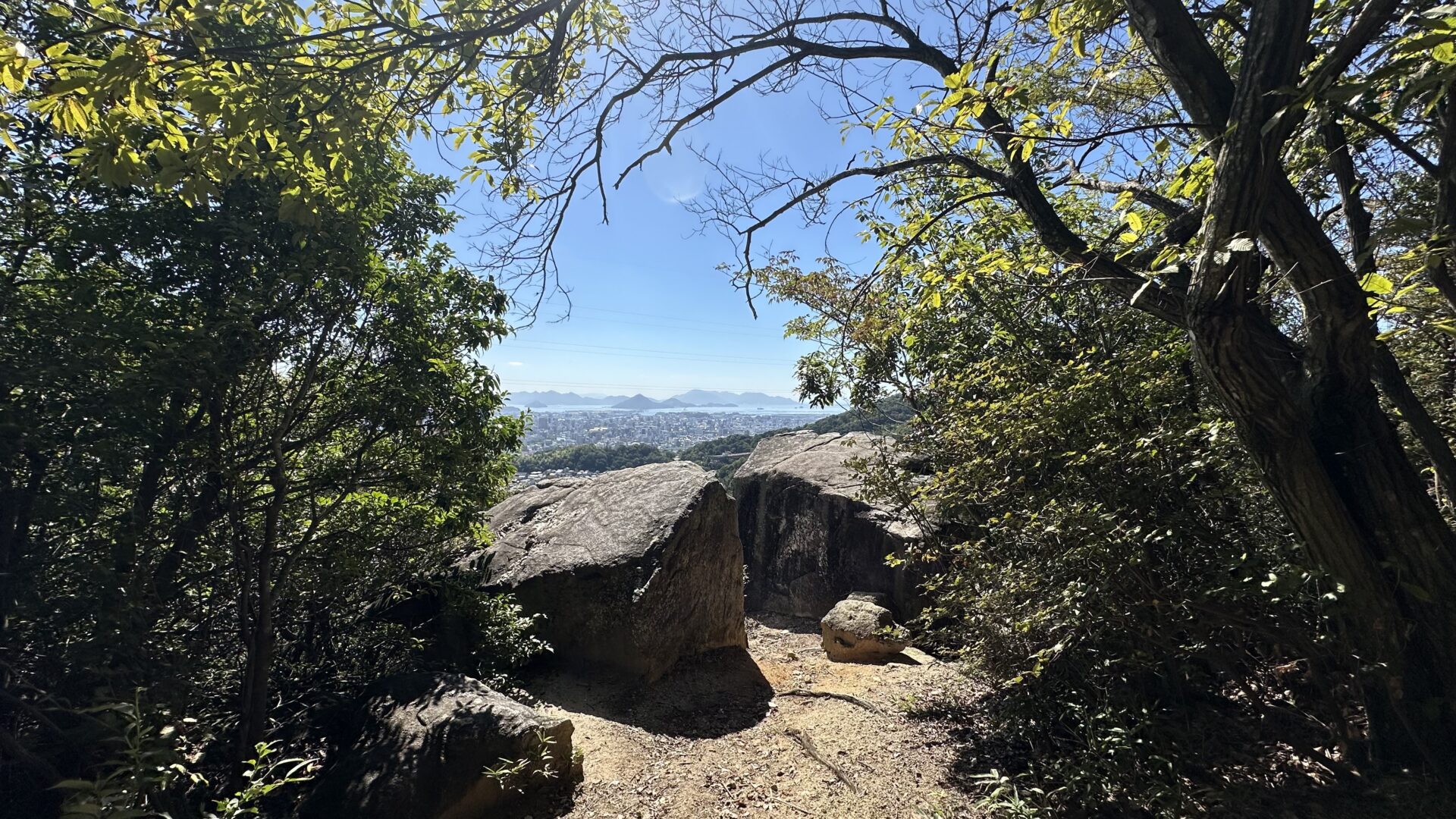
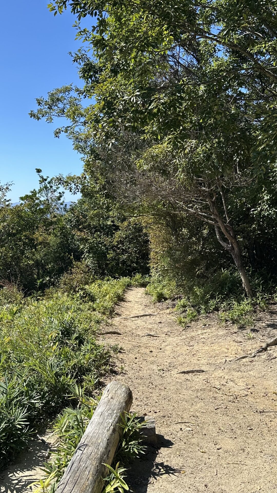
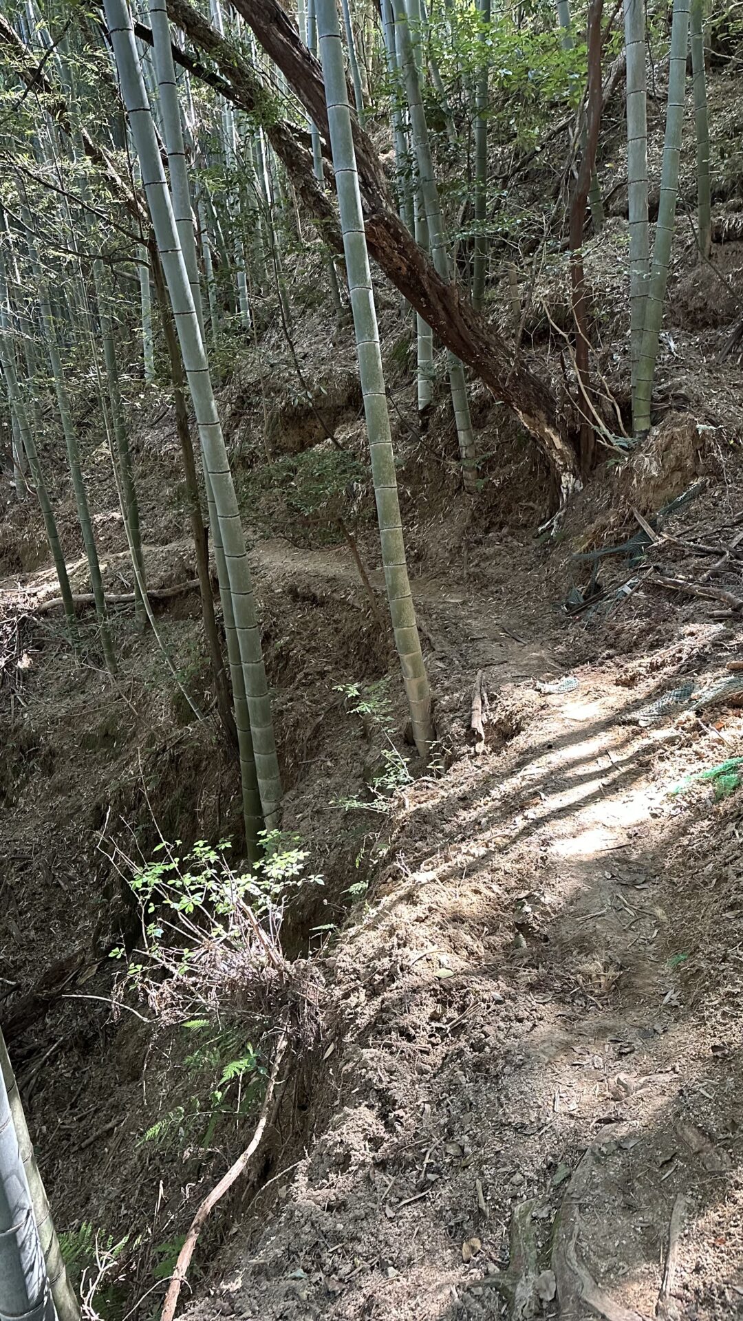
Eventually, I decided it was time to press on. I snapped a few photos and then took the path that everyone else seemed to be using. I figured since it seemed popular, it might be easier. I honestly couldn’t tell you if it was. It was down, which is almost always easier.
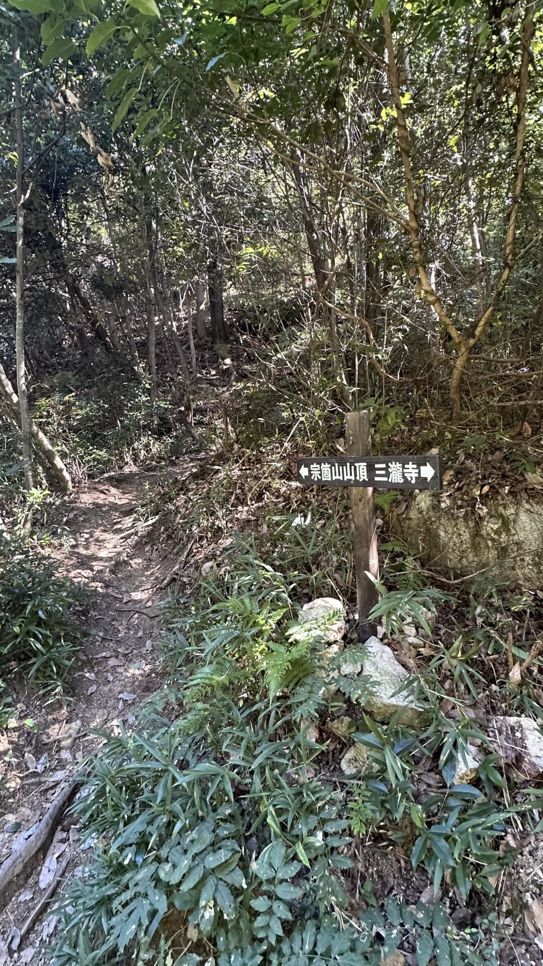
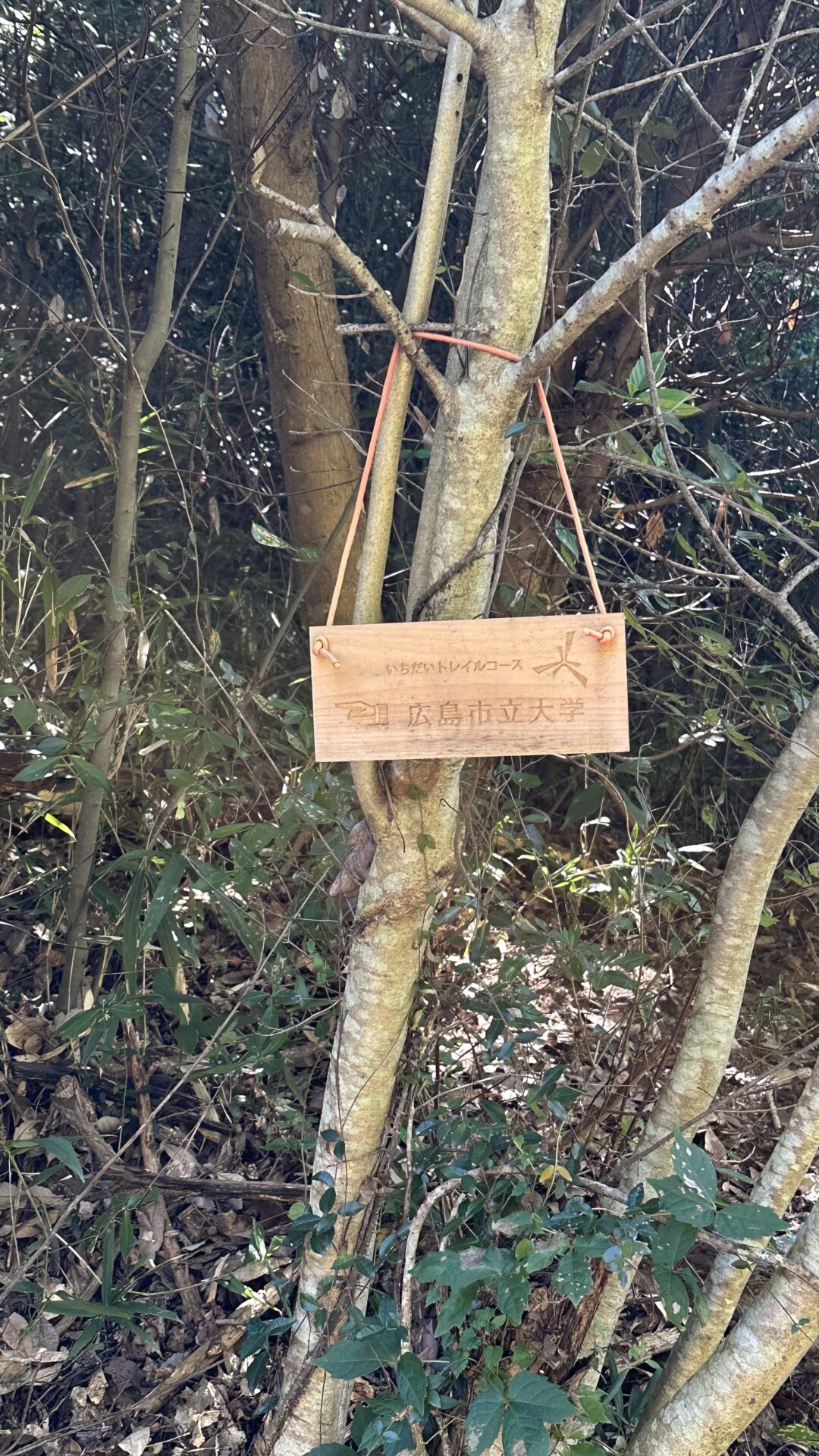
The trail was pretty obvious, but it also had a few branches. While there were signs, they weren’t overly helpful for me. I ended up doing a loop, but there isn’t a loop trail labeled on the map. There’s a small segment to the right that’s this trail and a small segment to the left that’s this one, but the entire loop doesn’t seem to have a name.
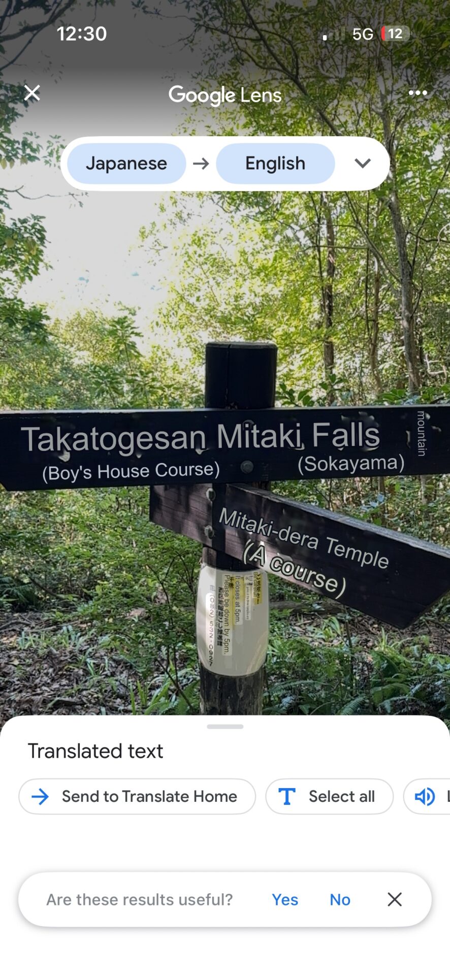
I made educated guesses at each one. Okay. Just guesses.
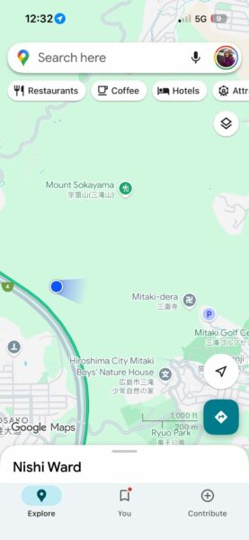
I’m used to Google Maps showing the trails when I hike. Unfortunately, where I was was just a sea of green. The screenshot below is at the exact same point as the signs above. In the States, I’d be able to see which way the trails went. This is why I couldn’t clearly see a path to the waterfall, let alone the loop I accidentally hiked.
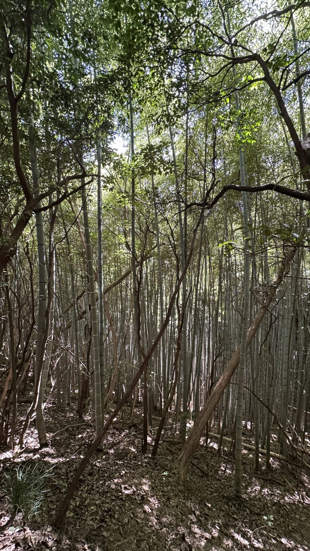
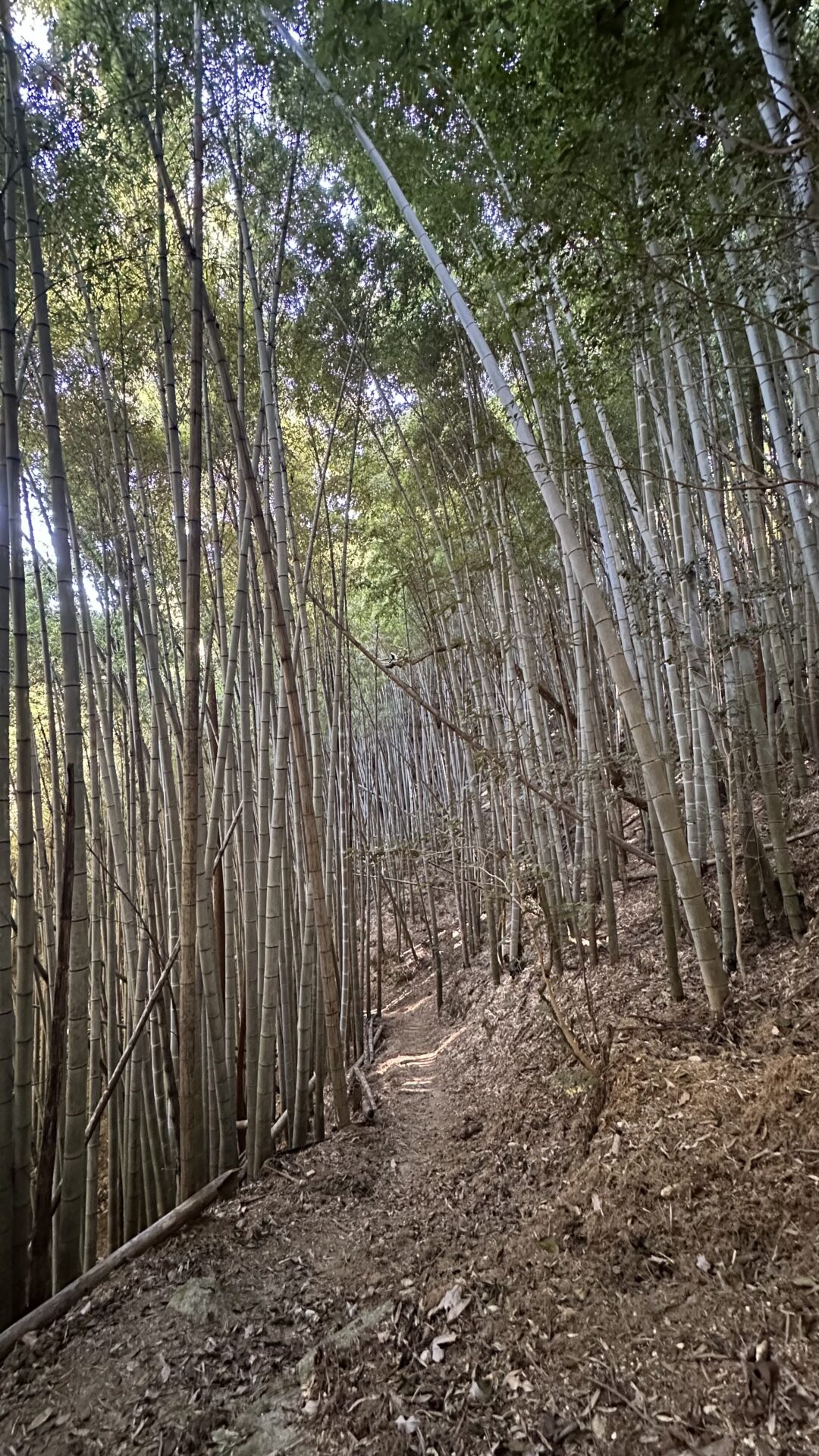
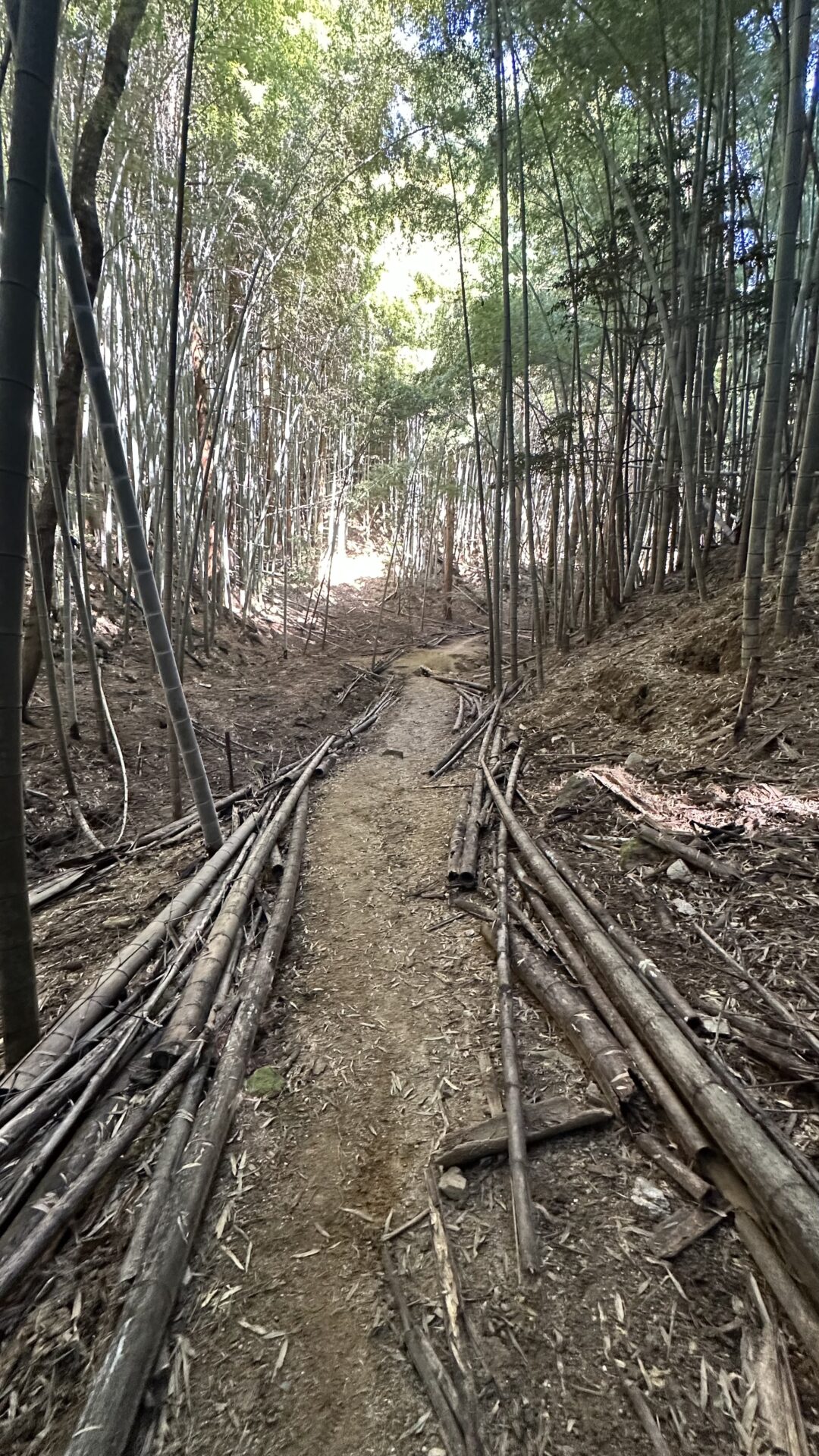
I passed through a really cool bamboo forest. I didn’t know it got that wide and tall! There were a number of downed trees that became guard rails for the trail. It’s at this point that I attempted to send Chris one last message saying my phone was at 7%. He didn’t receive it until I got back to the hotel.
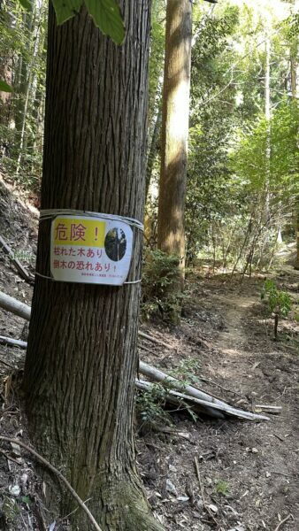
A bit later on, I passed large trees with ominous signs. Google Translate informed me that these are dead trees and that it was dangerous for me to walk near them. I did it anyway.
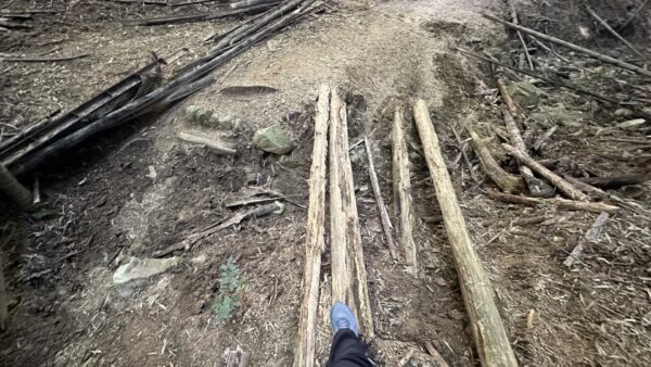
I had to cross a dry creek bed. I considered walking across the rather rotted tree, but decided I couldn’t risk a broken ankle when my phone battery was in the single digits in a foreign country. I just now realized I don’t know the local emergency number here. I’m glad I didn’t risk my ankles on that tree lol
I eventually started to hear running water and realized I was at the start of a long waterfall. I followed the water down and ended back at the temple. Turns out, if I had made different choices after visiting the orange temple and gone left (walking past that family), I would have nearly immediately found a chain of waterfalls.
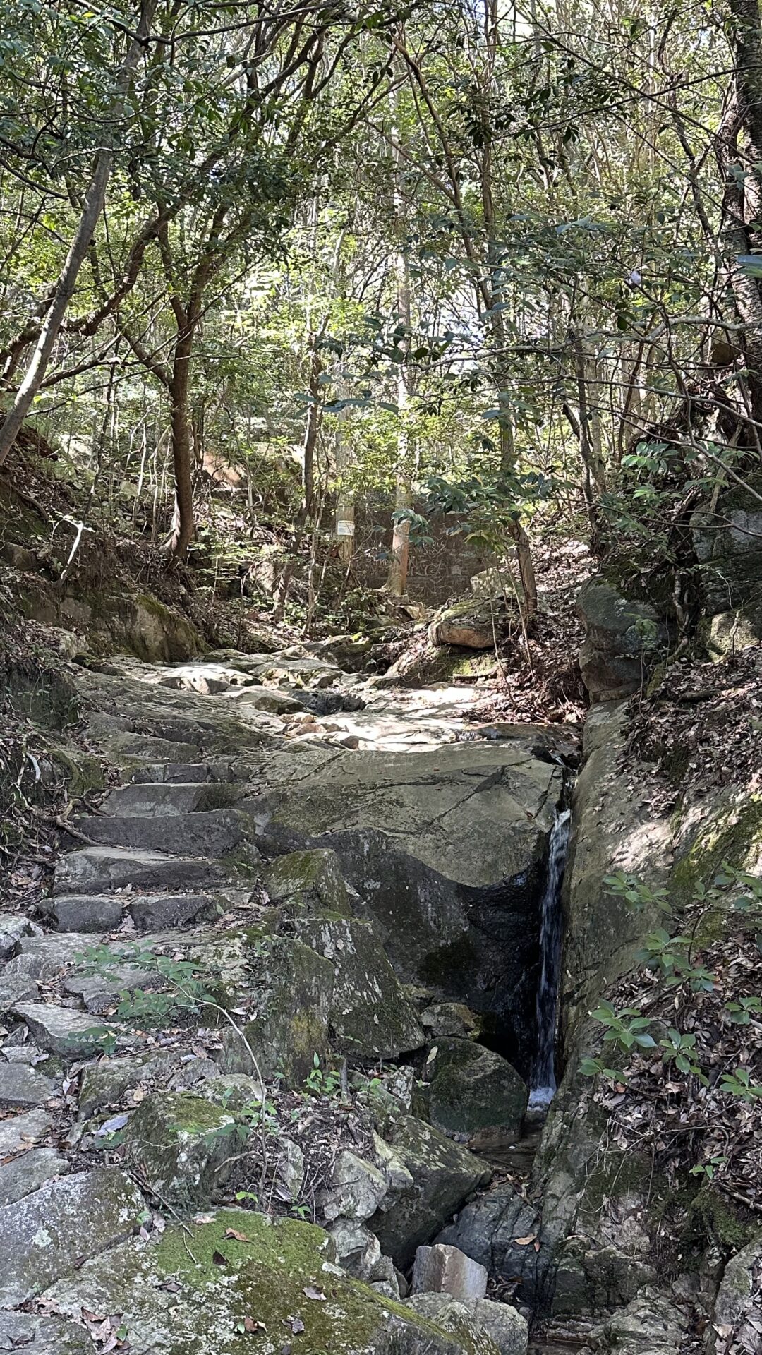
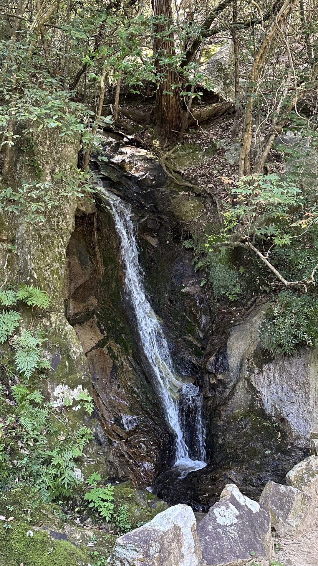
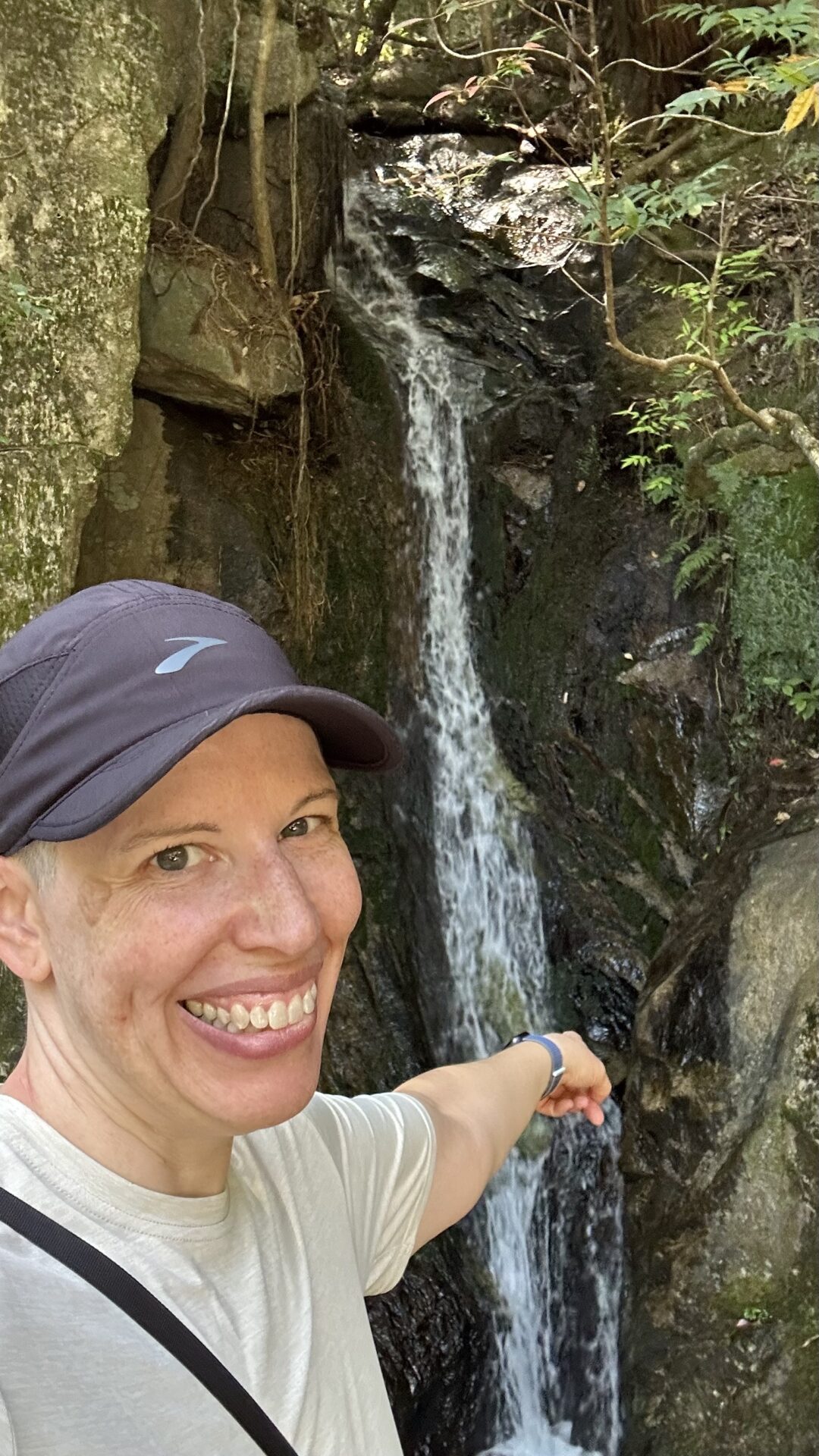
My phone died after I took this waterfall picture, and so I have no photos of the rest of the temple. Please visit if you ever get the chance. It is charming and insanely lovely. My words cannot do it justice. Just visit.
Travel Choices
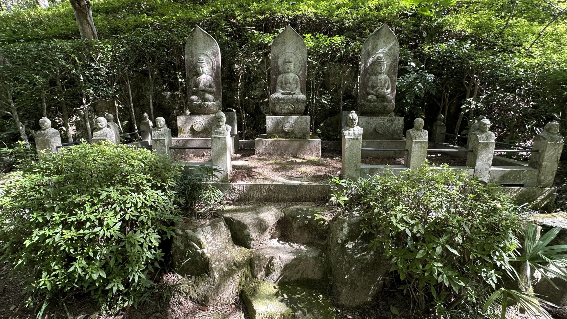
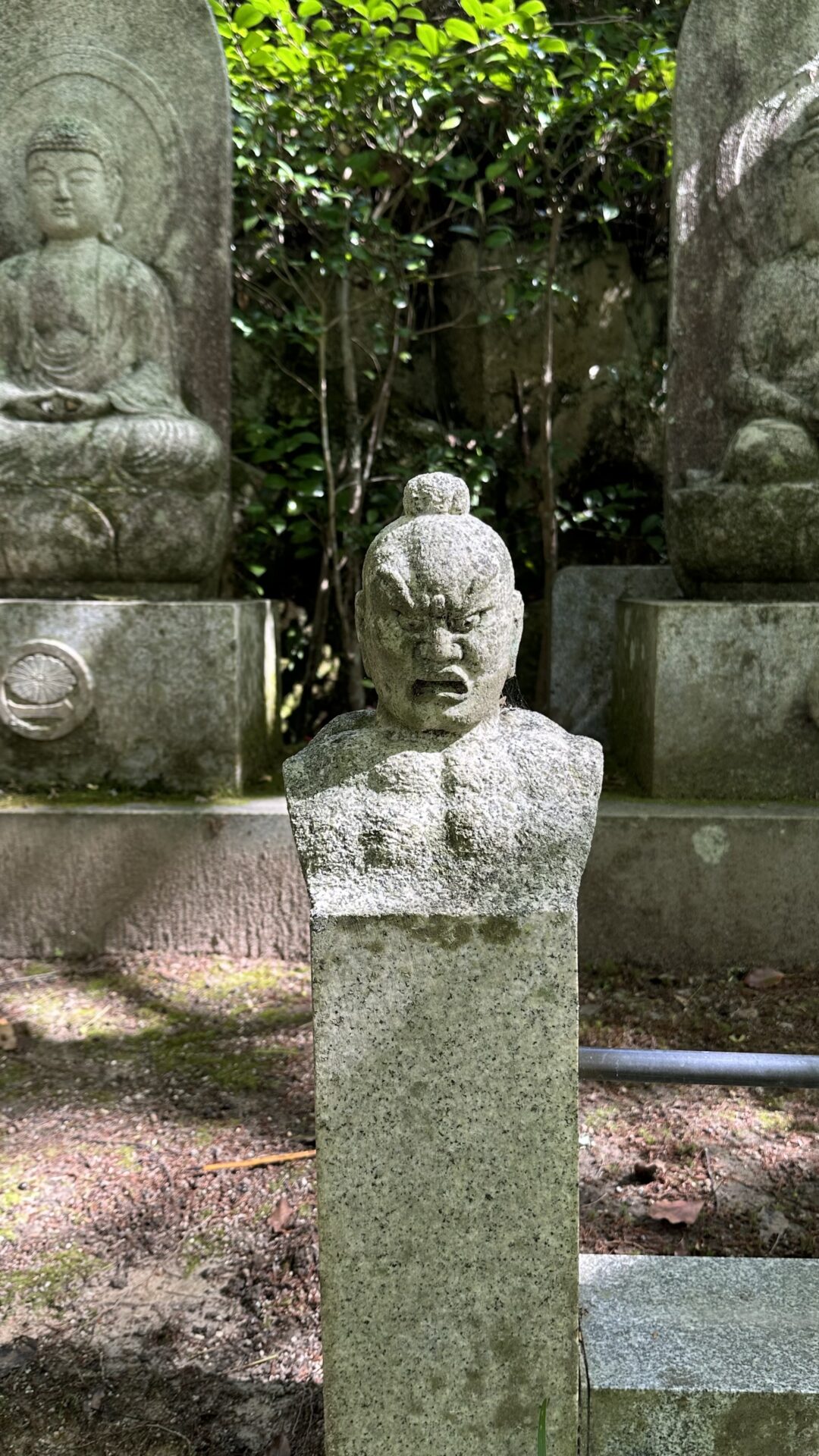
I departed the temple and decided to take a slight detour through the nearby cemetery. I’d stopped briefly on my way up to the temple, which is how I obtained this photo, but it sprawled the entire hill. I eventually got tired of walking up so many stairs after climbing the mountain, so I headed back to the road to begin my journey back to the hotel.
Ever since I sent that text to Chris alerting him to my 28% phone battery, I had mentally been practicing how I was going to navigate my way back to the hotel. The fallback plan, to be used in case of emergency, was to flag down a taxi. Obviously, this is the boring option. It’s too easy. There’s no adventure in it.
Ergo, my plan was to retrace my steps. I remembered most of the route but the bit closest to the hotel was a bit fuzzy. I figured I could start asking people for help as I got closer. Say the name of the hotel in a questioning tone and point vaguely in the direction I think it is. Or ask if they’ll look up directions on their phone and show them to me.
All my practice was wasted. I got to the street and there sat a bus heading to Hiroshima Station. The station is right outside my hotel. The bus didn’t depart immediately. I was able to cross 2 streets to get to it. The back door was open. I hopped on.
This was my first time riding a bus in Japan. I know absoltuely zero bus ettiquete. If you recall from a prior post, on the trains you have to tap on and tap off. Is it the same on a bus? I dunno. There was no cord. How do you request a stop? I dunno.
I skipped ahead. I tapped my phone to get onto the bus. It’s dead remember? When Chris was telling me how the transit card worked, he mentioned in passing that it would still work if the phone died. When I recounted this to him later on, he told me he never actually expected us to use that feature. He just thought it was a marvelous bit of technology. Ha! Little did he know!
Busses in Hiroshima board from the middle and not the front of the bus. There’s a button at each seat and several along the hang on for your life bar down the middle of the bus. When getting off, depart from the front of the bus and tap off just like you tapped on.
I think it’s interesting that everyone departs from the front of the bus. In the States, you get on in the front and depart from the middle/back of the bus. Getting on in the middle actually makes more sense because you can then choose to go towards the front or the back. I think it would be less congested when loading during peak times.
Anyway. the bus route passed several land marks I recognized and I got excited each time I spied something I remembered seeing before. It meant I was on the right path!
We made it to the station and everyone got off. I didn’t recognize a thing. I stalled for time by going into 7 Eleven and getting some much needed water. I would have gotten an egg salad sandwich but they were out. I got a chocolate chip cookie instead.
I proceeded to wander around looking for what I recognized as Hiroshima Station. The train and bus station have the same name and are in close proximity but aren’t in fact the same exact station.
I gave up and decided to ask for help. There were a number of hotels in the area and I figured someone there would likely speak English. I walked into the closest one, asked for directions, and, I wish I was joking, but my hotel was on the other side of the one I stopped in. I cut through the hotel and landed in the train station I’d been looking for. My hotel was right across the parking lot.
As I said, choices were made. I accidentally climed a 356m (1,168 feet) mountain without food, water, or even a proper sprots bra. But I found the waterfalls I was searching for, had a great time, and lived to tell the tale. No regrets.


Ok two things came to me when reading this… first I think if you put your hand in the koi pond and they choose to touch you, that is completely fine… then it’s mutual and they are giving their consent through active participation
Second – I didn’t know that about the transit passes! So cool!